The enormous pillar of stone seemed to rise from the mist like a brontosaur lifting its head. I had ascended the steep, bedrock-paved trail, clambered over boulders, and then, through the treetops, I saw it — the rock chimney of Chimney Mountain.
A brief history of geologic proportions
Chimney Mountain is a wonderland for geologists and explorers alike. It's incredible to experience, especially considering its history.
The mountain began forming more than a billion years ago, when the region was at the bottom of the Grenville Sea. A trough at the bottom of the sea collected all sorts of sediment — clay, sand, calcium carbonate, and lava — which were compressed into sedimentary rock a billion years ago. The sedimentary rocks were eventually heaved up, and high temperatures and compression changed them to much harder metamorphic rocks. Those mountains, which were once 20,000 feet high, underwent changes via forces like glaciers and faults to become the core of today's Adirondacks.
What does that mean for Chimney Mountain? In most places throughout the region, the soft, sedimentary Grenville layer can only be found in deep valleys. But on Chimney Mountain, it appears the harder metamorphic rocks have worn away, exposing the Grenville layer.
Thanks to the forces described above, the mountain is now a labyrinth of narrow passageways, expansive views, sheer cliffs, and mysterious caves. There is also a 600-foot-long, 200-foot-deep depression littered with Grenville boulders — this was formed when a western portion of the mountain (now called the Western Rift) separated from its eastern counterpart (the Eastern Rift).
To the chimney
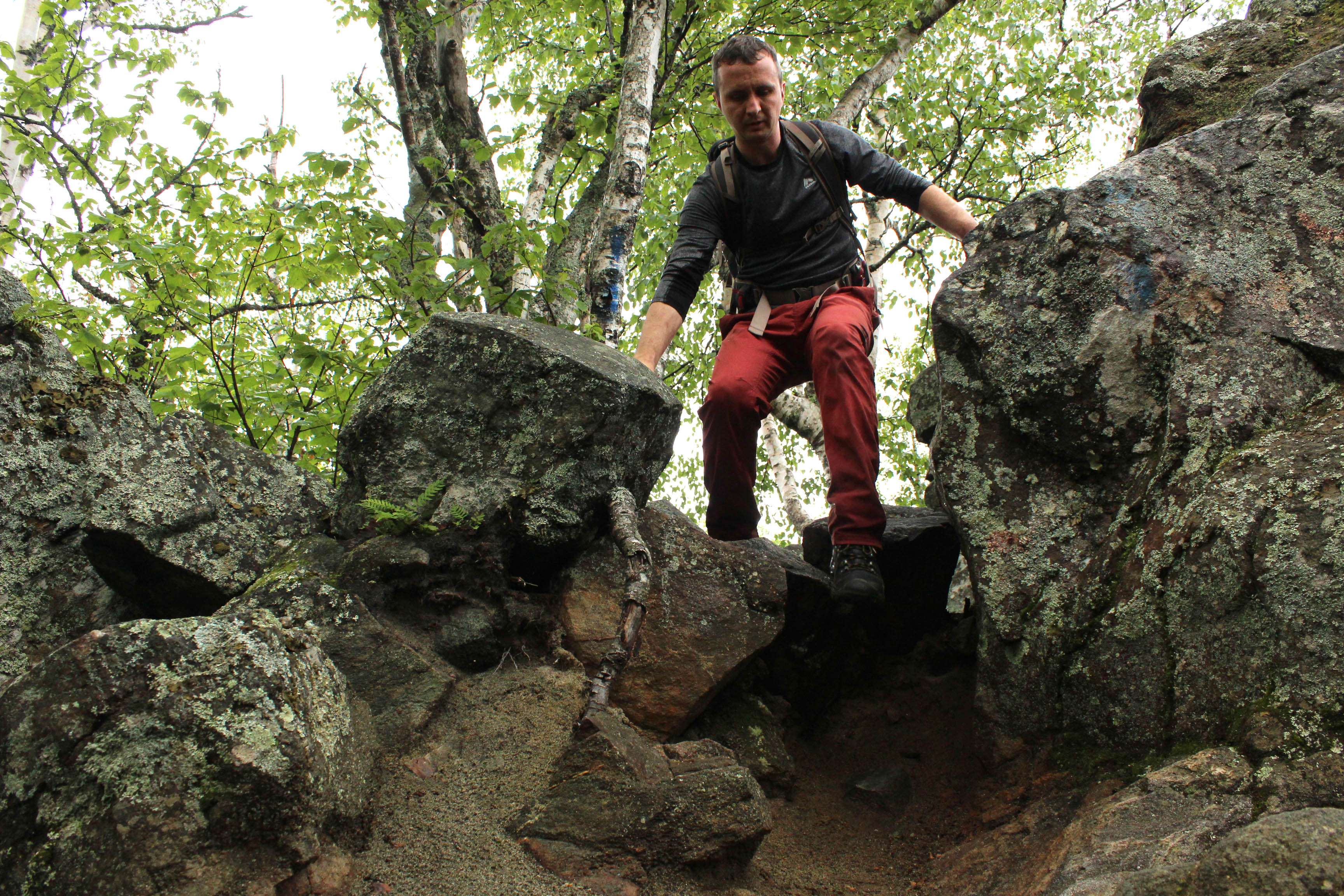
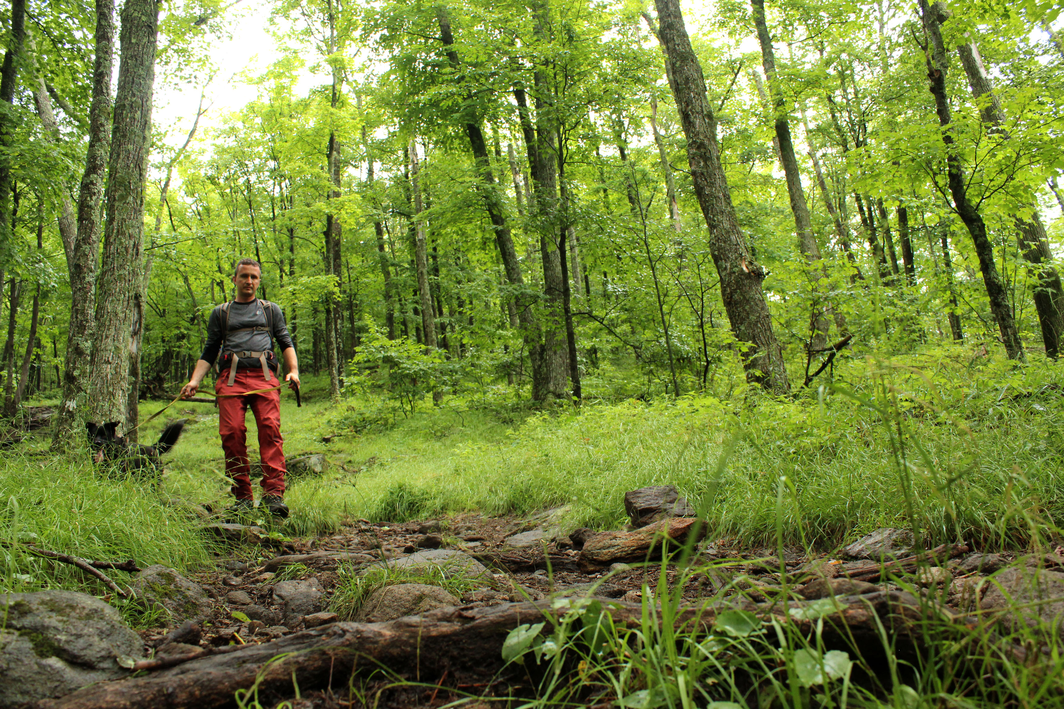
The trail up Chimney Mountain is pretty straightforward. The well-marked path ascends gently at first then charges up the side of the mountain. It's a 900 foot elevation gain over 1.25 miles so it does get steep, but it was over before we — that's my dog, Belle, and I — knew it.
Toward the top of the ridge, things get interesting. Underfoot, there's a surprising amount of sand, evidence of broken down Grenville rocks, and the forest appears to drop away on both sides just before the path levels out. That's where the big rocks, and several options, begin. Since it was my first time exploring this place, I first followed the marked path straight to the chimney, an incredible scene of enormous rock formations.
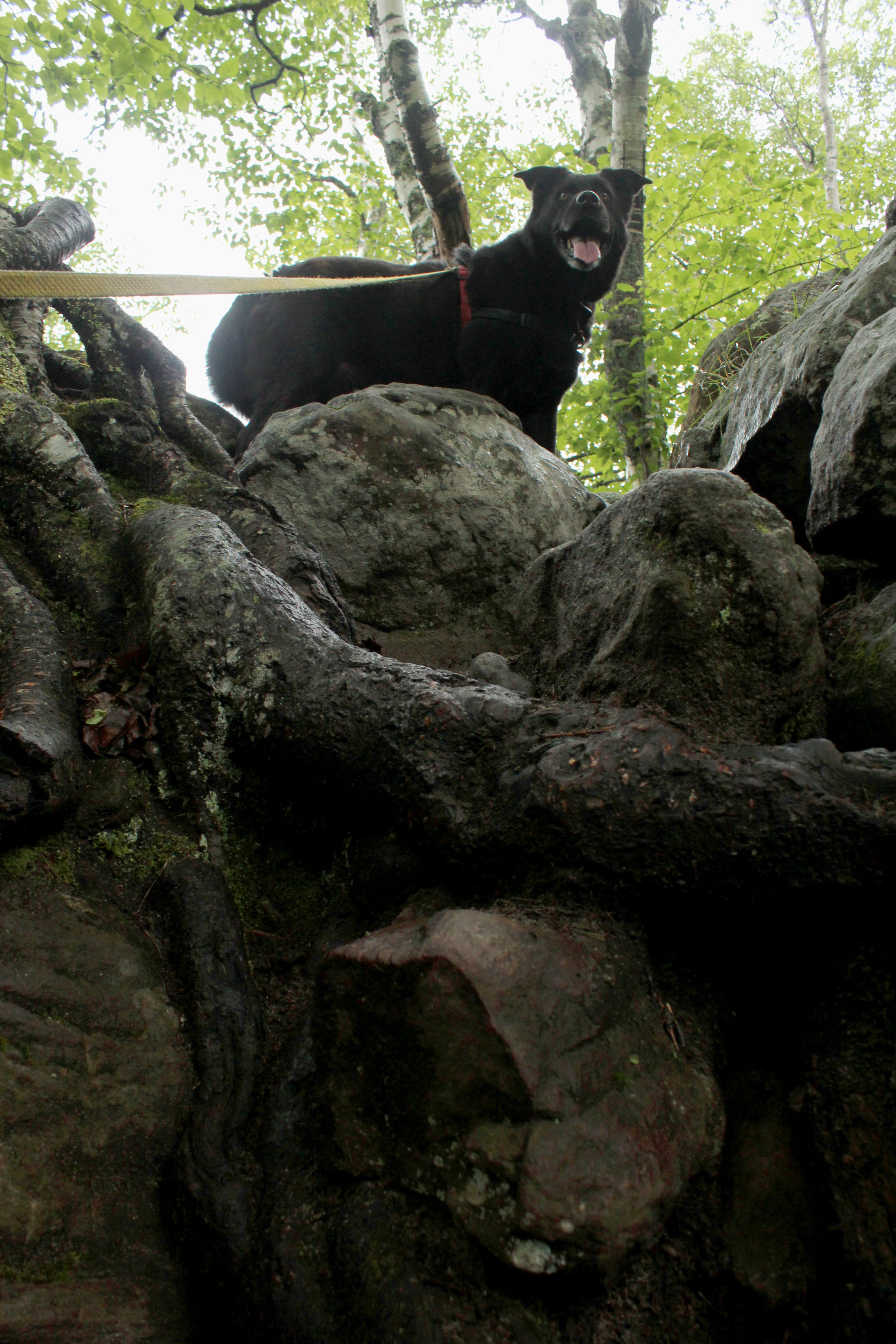
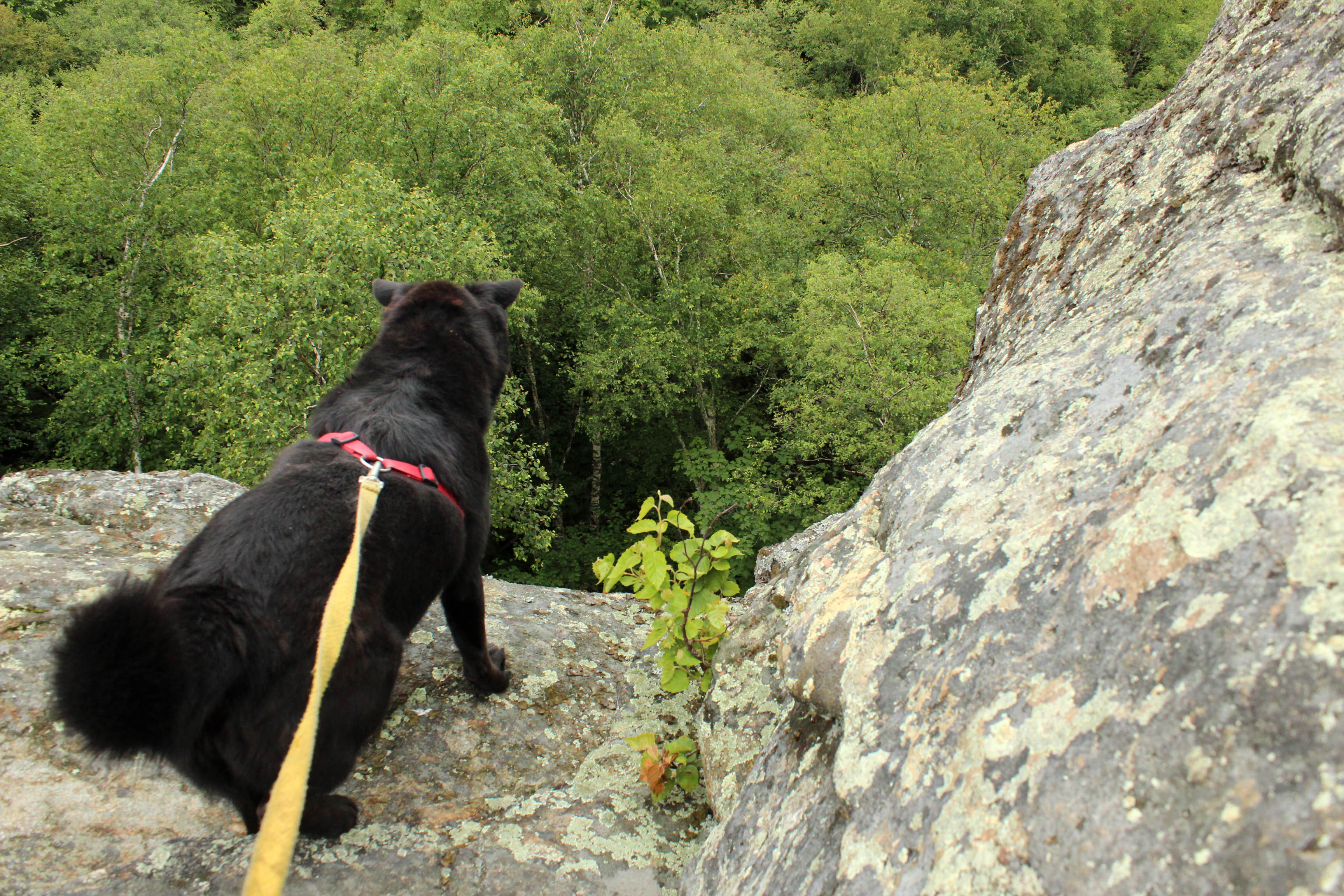
My next stop was the true summit of the mountain. The trail there branches off to the right just before the chimney. After passing an awesome designated campsite —I am now planning on sleeping here in the future — I continued on the easy, mostly level path to the open cobble that marks the top. I've heard there are outstanding views, but I was visiting post rain shower, so the tops of the mountains were shrouded in clouds.
No matter; I was content watching tendrils of mist stretch across distant mountainsides as a pair of chimney swifts darted and swooped above me. How appropriate! I'm used to seeing dozens of the birds move like a cloud over rooftops near my home in Saranac Lake. It made sense to see them on this mountain — as I was soon to discover, the nearby landscape is rife with deep caves, the perfect habitat for this species.
The Great Depression
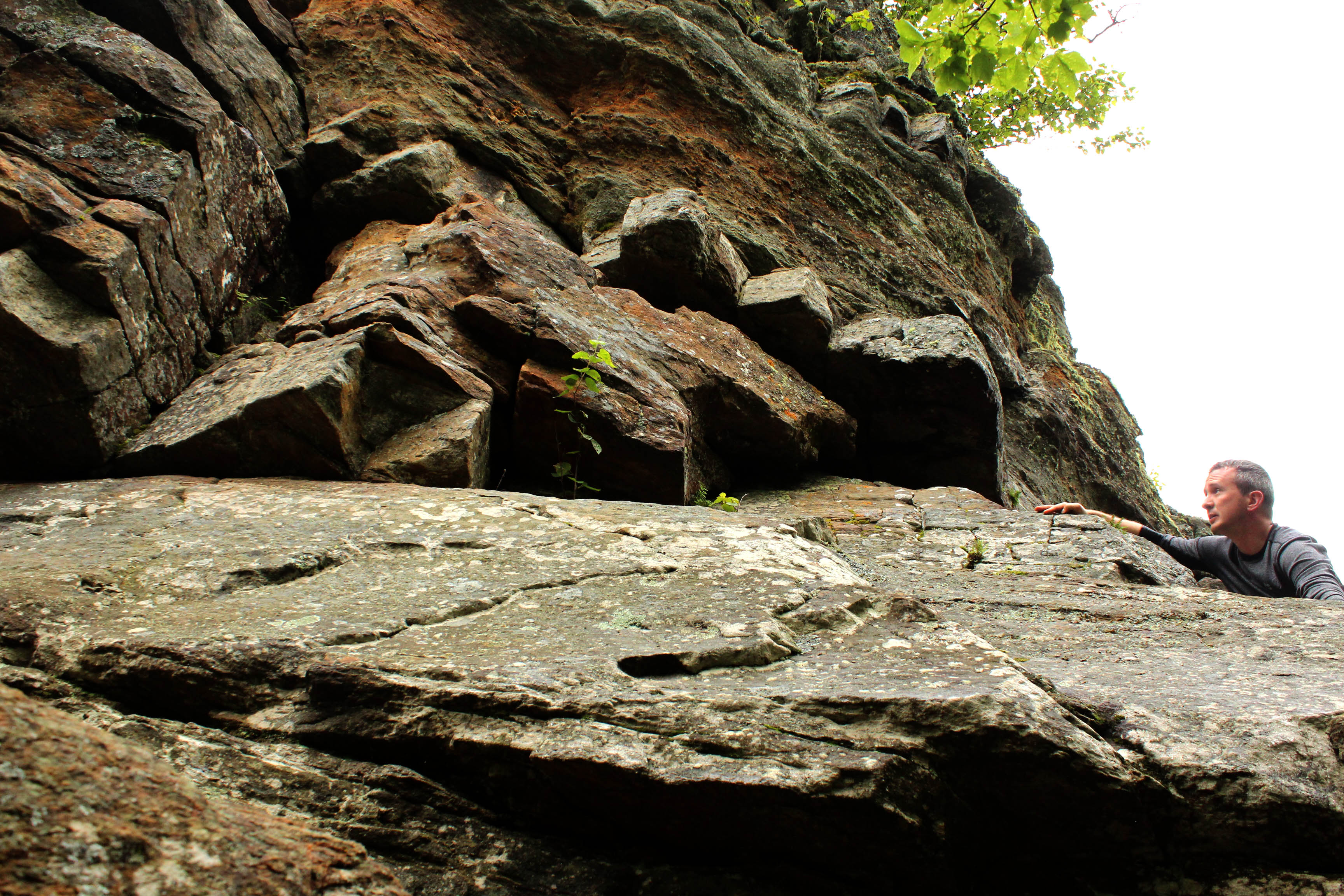
Belle and I headed back toward the chimney and took a path to the left, toward the West Rift. It's an easy-to-follow route, but it's also steep and potentially dangerous. Enter at your own risk. After the downward clamber I found myself at the base of an impressive cliff, looking up at the chimney.
The reddish rocks along this section reminded me of a recent trip to Arizona, where I hiked among Sedona's red rock formations. There aren't any cacti in Indian Lake, though.
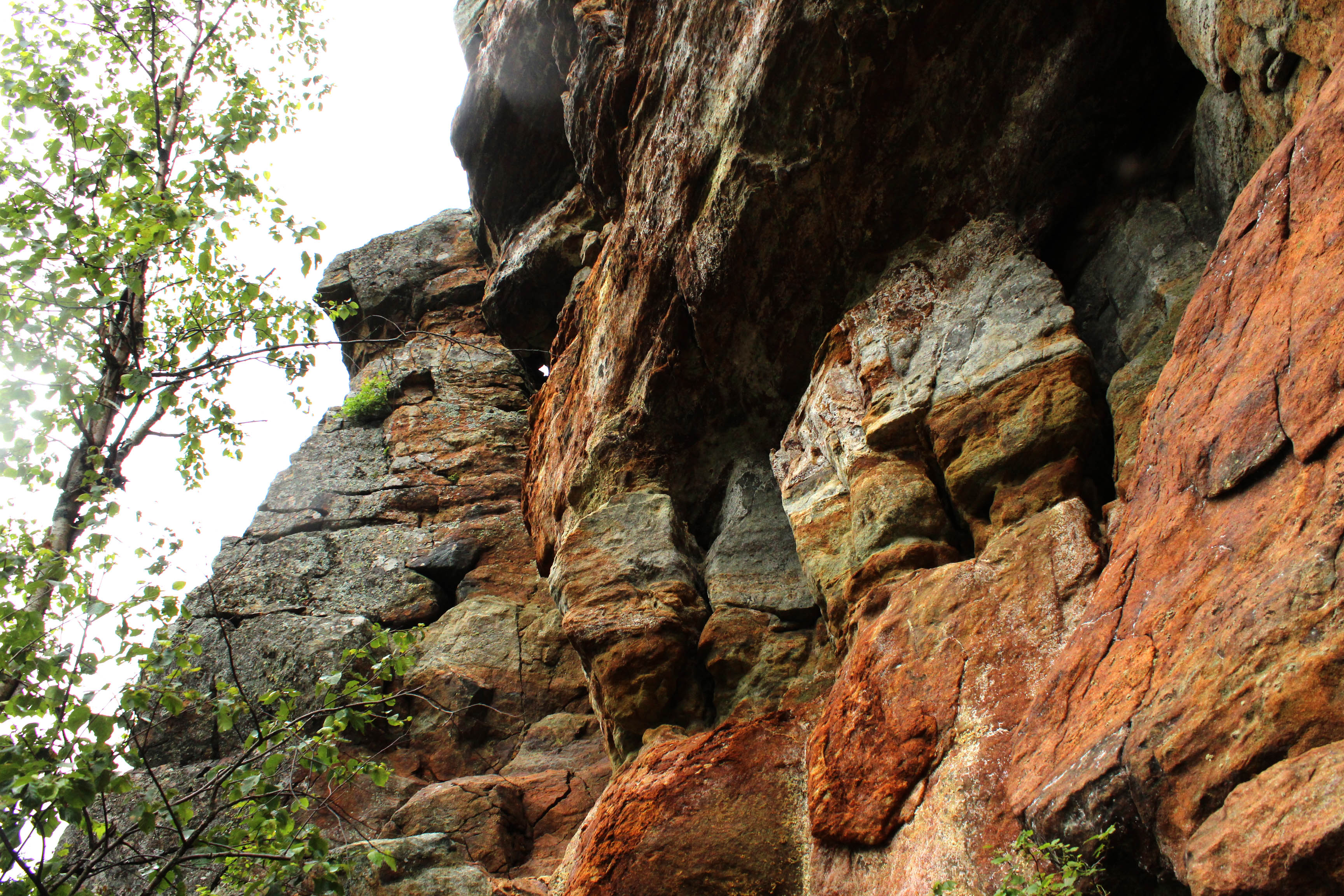
Bearing left, we made our way into the depression between the two rifts. This spot felt prehistoric. On the day I visited, the forest was still dripping with rain. Piles of boulders of all shapes and sizes litter this lush little valley, their lichen encrusted exteriors decorated with bouquets of common polypody, a rock-loving fern.
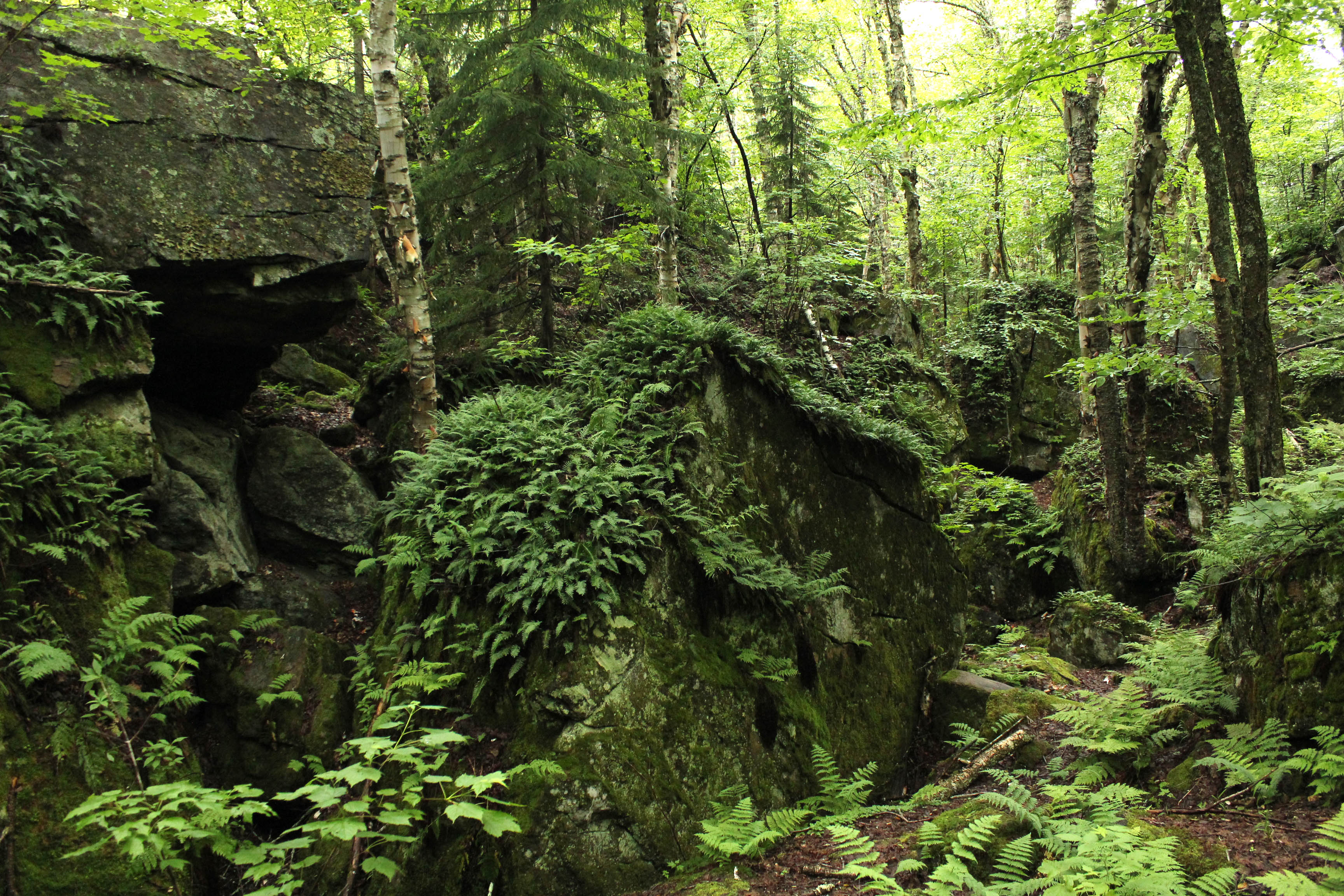
The depression is a tricky place to navigate. There are holes everywhere, some of which appear bottomless. There are also caves to explore, but first I wanted to climb the West Rift for a view of the rock chimney. A short, steep scramble brought me to the hilltop. I took a minute to enjoy it before following the ridge south and back into the depression, where I started weaving between rock walls.
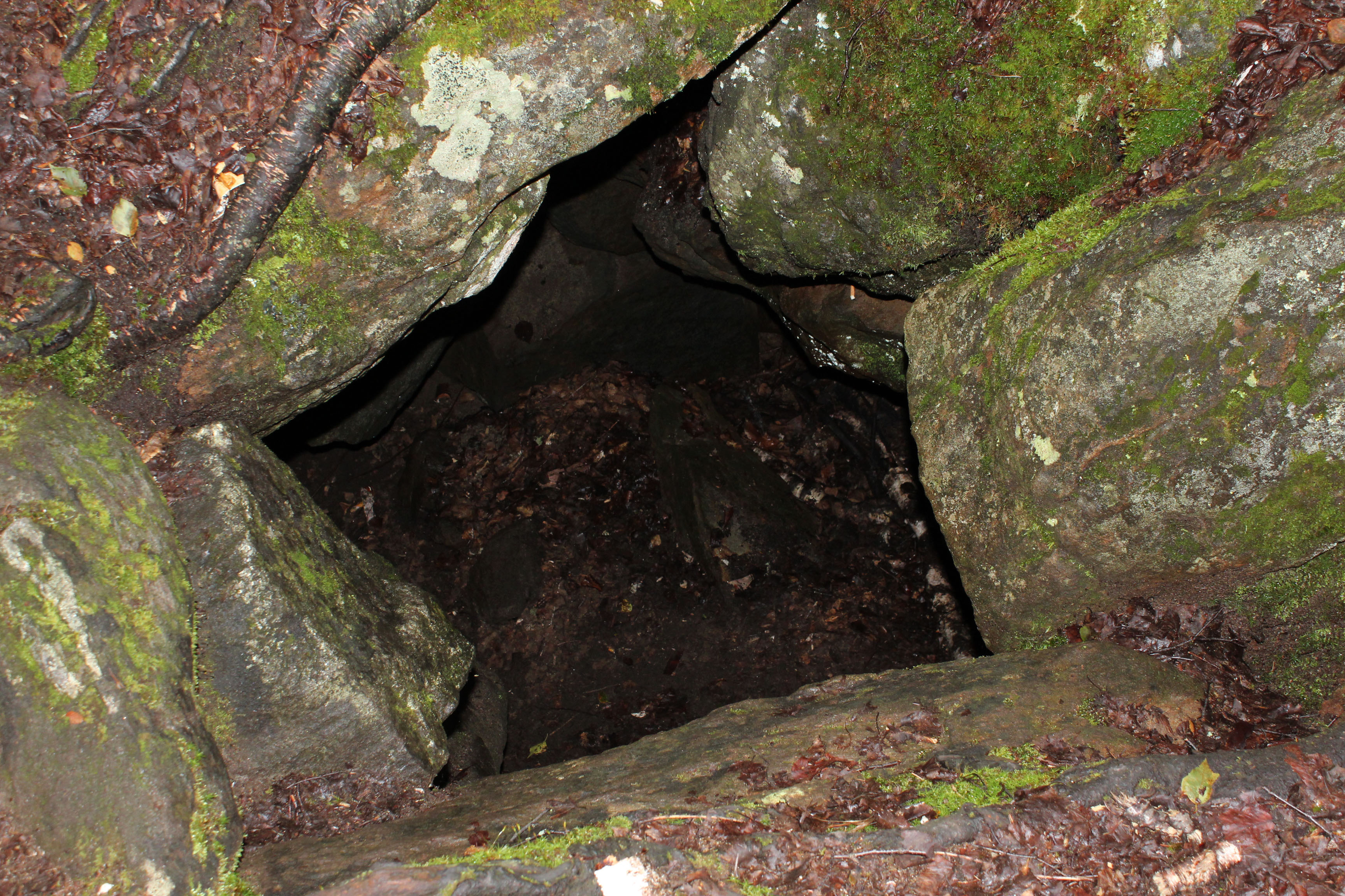
Along the way, I found a 5-by-5-foot hole and several areas that looked like cave openings but weren't very deep. A faint trail went up to a large opening of a room big enough to stand in. After that, I made my way around to the west edge of the West Rift, where I discovered an enormous, deep split in the mountainside. I couldn't tell where the bottom was, even after going into it a little ways.
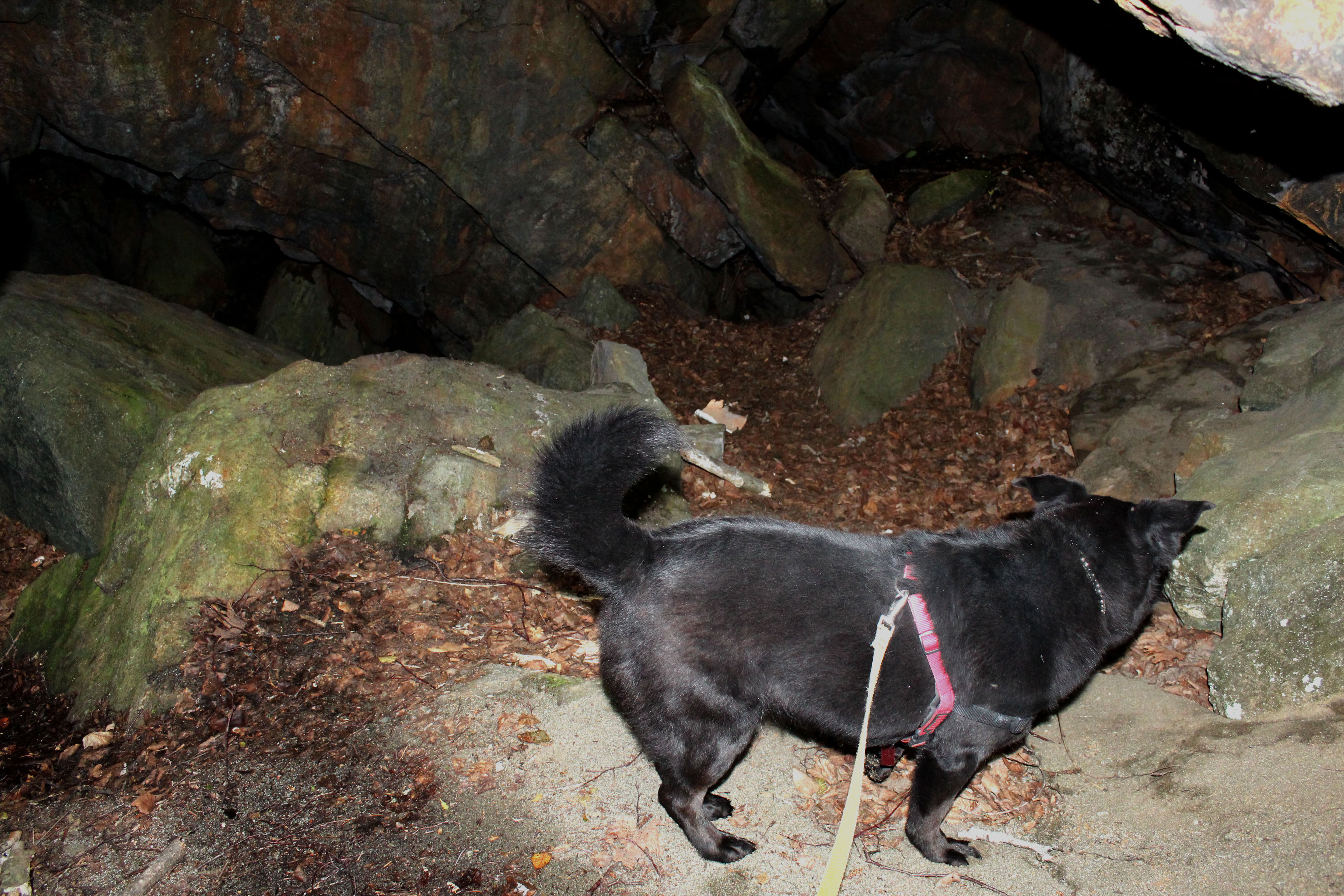
Belle and I carefully poked around some more before heading back to the car. The best thing to do is get to Chimney Mountain early and take the day to explore the rifts and the depression. Just be careful where you step — those holes are no joke — and be sure to bring a headlamp to better see into the depths of the many caves here. Rumor has it the Adirondacks' most spectacular cave, Eagle Cave, sits to the north of the West Rift. I'll save that adventure for another day.
Hike stats
- Distance: About 1.25 miles one way to the summit
- Elevation: 2,721 feet
- Elevation gain: About 900 feet
Getting there
From Indian Lake, head south on Route 30 and turn left on Big Brook Road after about 0.5 mile. Follow Big Brook Road for about 8 miles to its end. Please note the trailhead is on private property. Be sure to pay the $2 parking fee and stay on the path.
After the hike, I swung by Indian Lake and had a Reuben with a side of macaroni salad at Pig II Deli in Indian Lake. I was in a hurry, so it was a good choice, but if you have more time you'll find a lot of other options, from sit-down dinners to pub fare. After the Chimney Mountain adventure, I was ready for more Adirondack hiking!


