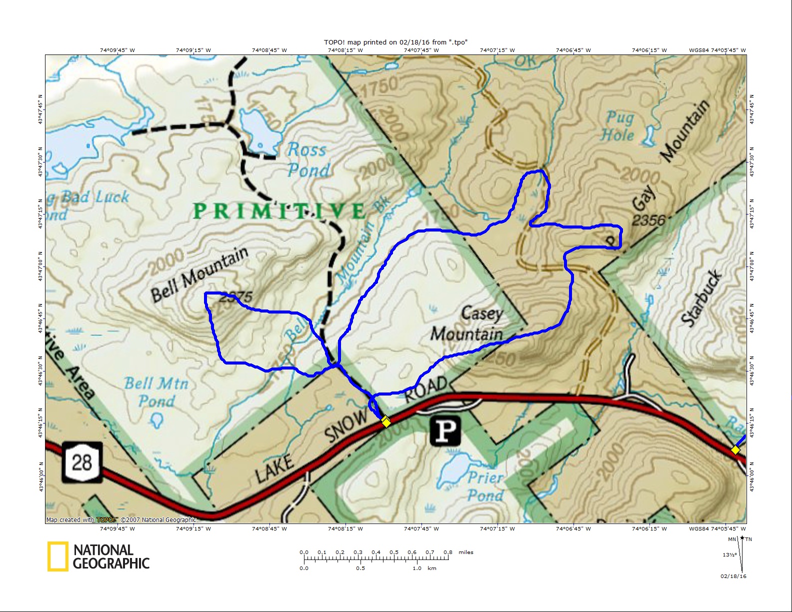
A warm day was a-brewin' as we set out for our first adventure on the south side of the Hudson River. We had been scoping out Casey and P Gay mountains for some time, and if I had anything to do with it we'd also venture over to Bell Mountain to finish off the day. Of course, we would have to see how the legs were holding up at that point.
We met up as usual at a local Stewart's Shop for last provisions. The shops are a good meeting spot because everyone knows where they are but not everyone knows the trailheads. The OK Slip Falls trailhead was just a bit further down the road, so we caravanned there rather than creating a clown car out of one vehicle.
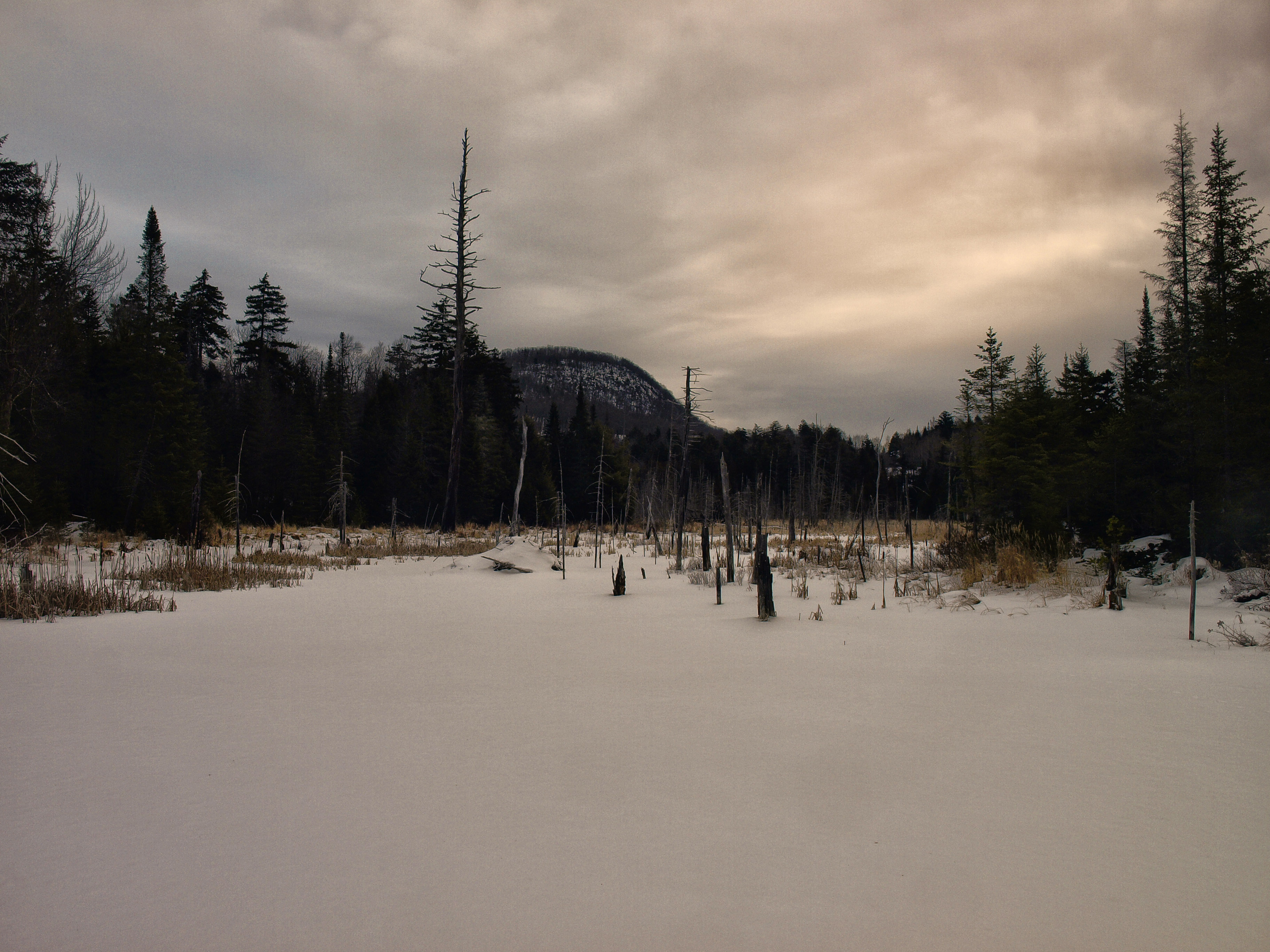
Casey Mountain
The actual trailhead is about 0.2 miles back up the road from the parking location, which is always a fun walk with a dog whose perception and fear of cars does not exist.
We proceeded down the trail engulfed in a boreal forest, but we didn't partake in it for all that long before we veered off toward Casey Mountain. At roughly a mile away, the rocky slopes of the peak towered over the small beaver pond we stood near. We used the beaver dam to get on the opposite side of the flowage before we made our aggressive direct line to the base of the peak.
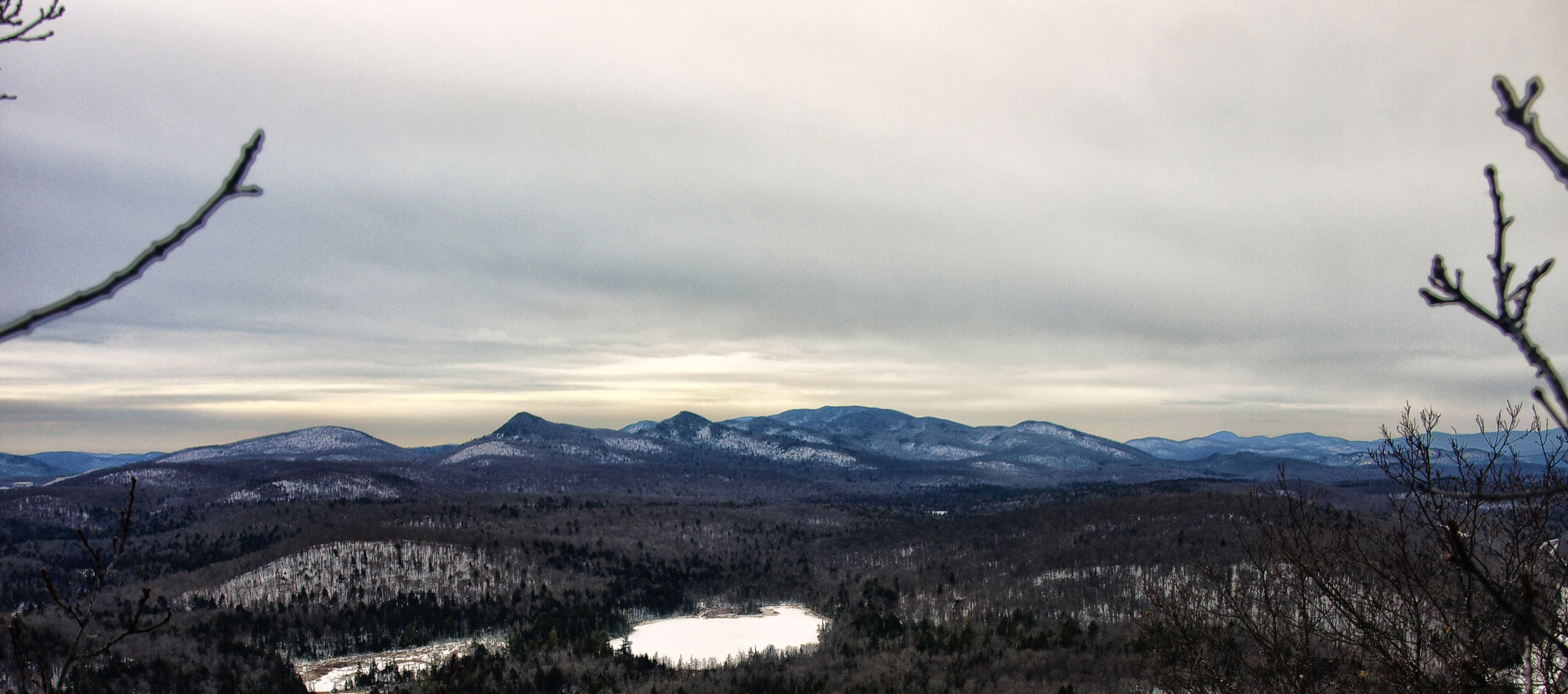
Even with only minor snow coverage, we decided that snowshoes would be the best means for easier travel on the slippery crust, which might not have been thick enough to support us on just Microspikes, and by us I mean me. With only a few thicker stands of spruce along the high banks we had an easy time reaching the steep slopes of Casey. The slope was dotted with open rock and ice formations, which we needed to zigzag around to remain in the snow covered regions of the forest. It wasn't long before we stood atop some of the viewing platforms created by Mother Nature, where we enjoyed the pink hue of the sky over Ruby Mountain. The summit was only a bit higher, but its views were nothing compared to those from the lower slopes.
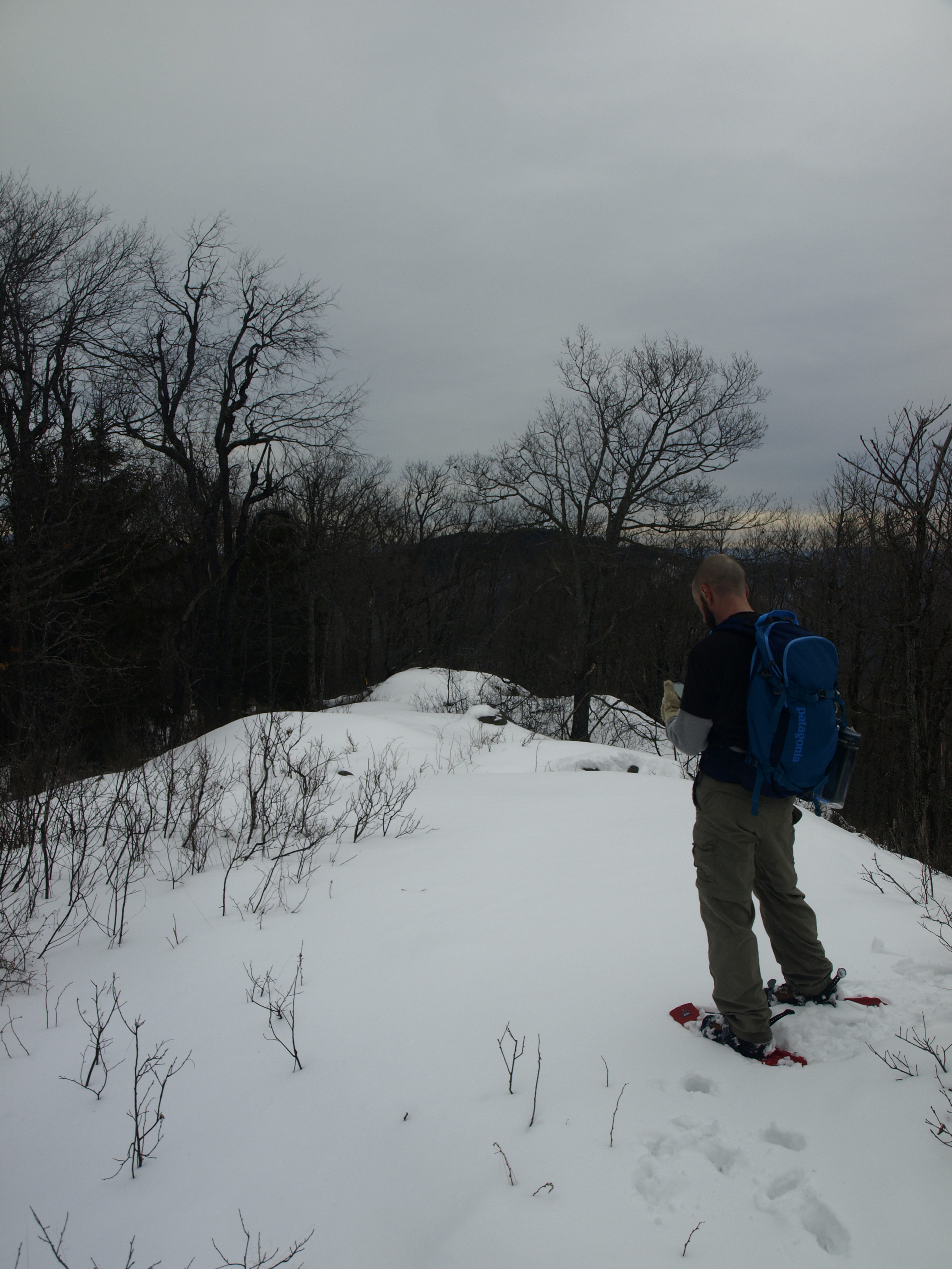
P Gay Mountain
We passed over the rocky spine of the summit pretty much without hesitation and headed directly for P Gay Mountain. The descent was easy and quick, and to our surprise we happened upon the old Casey mines from the bygone days of garnet foraging. In a small open pit we found an old mining cart, still on the tracks, which to our belief was quite odd. The cart and mine were on such steep slopes it was beyond our understanding why or how they utilized it efficiently. Maybe this business plan was the reason the mine didn't last long.
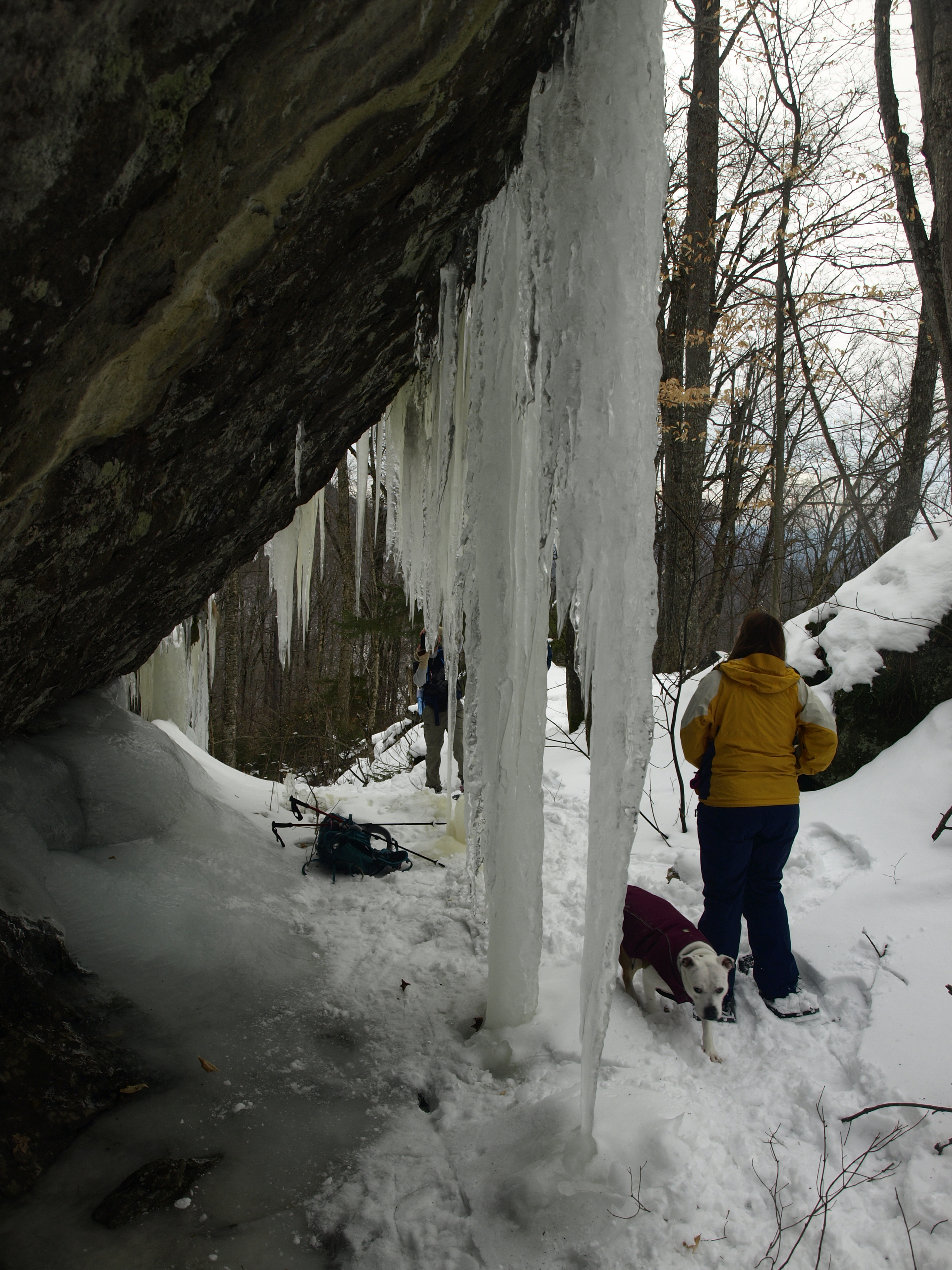
From here we passed under the pillars of ice that formed along the mountain's overbites and quickly found ourselves on the camp road to OK Slip Pond. We only used the road for about 200 feet before we returned to the forest in search of P Gay Mountain's summit views. The summit was close — very close — but the terrain was steep before us, as is usually the case in the Adirondack mountains. The views ended up being a bit less inspiring, but decent nonetheless. During our principal course to the summit, we found one area of open viewing that was nearly identical to the one on Casey.
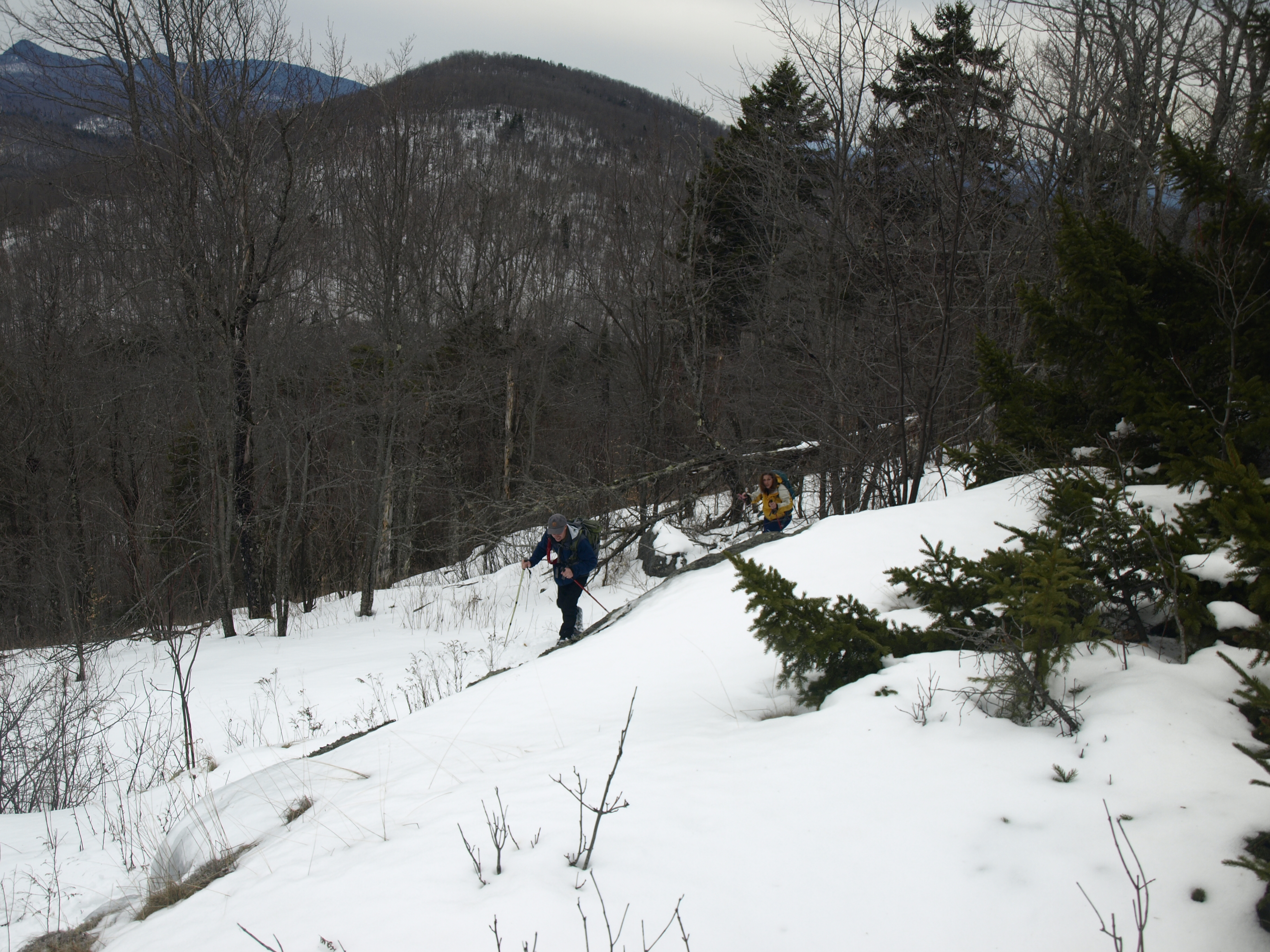
We dropped off of P Gay a bit more to the west to connect with the camp road a bit further in, and cut off some unnecessary distance. No views welcomed us on the descent, and once we were again upon the road we made up some time. We knew the OK Slip Falls trail crossed this road at some point, and we needed to intersect this to help us back to the car in a much better, well-organized manner. Bushwhacking is a fun venture for us but it is not an efficient mode of transportation, especially through the lowlands of the park.
Bell Mountain
It was about that time we decided Bell Mountain would be a nice way to end the day. We were all a bit tired and our legs were feeling it, but we were already here, as Jarrod expressed so perfectly. We ran into a few friends on the trail and told them our plan, but we could not coerce them into joining us so we left their company at the trail intersection for Ross Pond. We used the Ross Pond trail as our gateway to the base of Bell, but overall it didn't get us all that close.
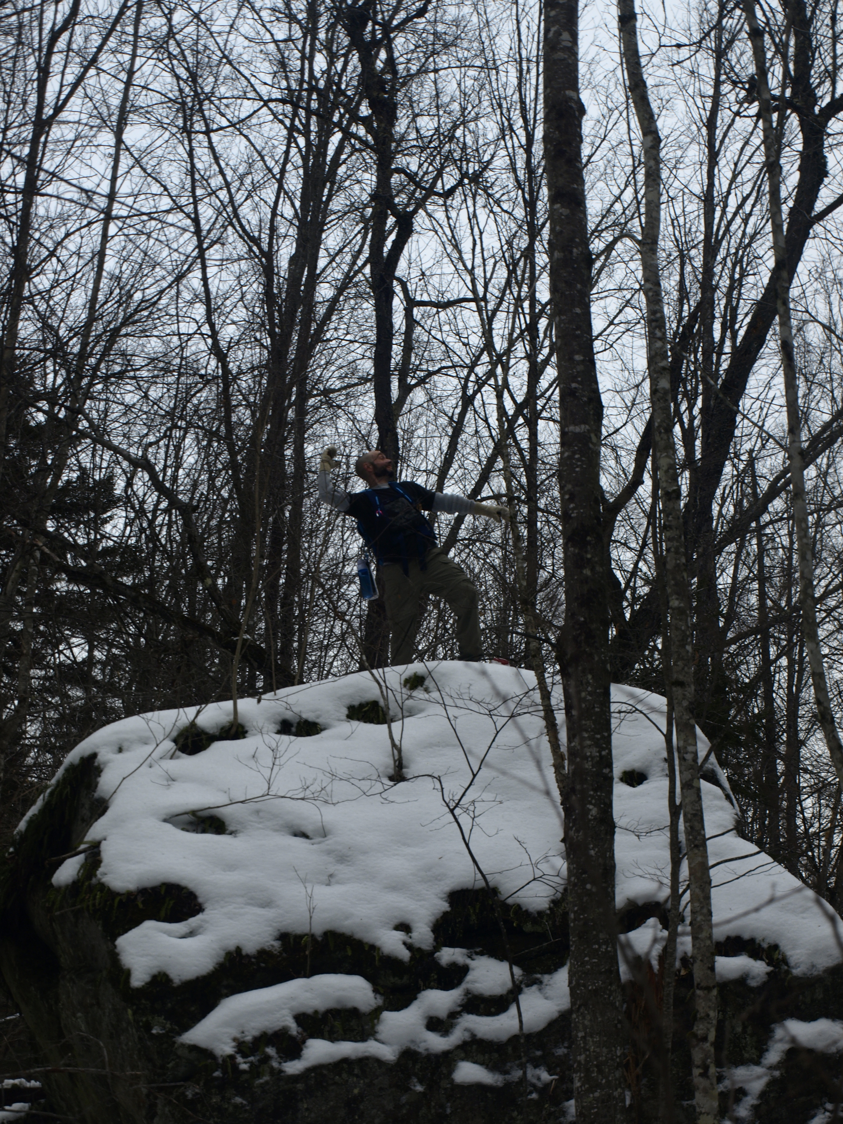
We left the trail and headed right for a marshy flow that we would surely need to find our way across. It was wet and muddy, and the snowshoes actually helped us stay afloat as we battled through the speckled alder. Still with dry feet we made it to the other side, amongst a small boulder field. Jarrod of course felt the need to scramble atop the large one, and the well-sloped backside made it an apparently easy adventure. Jim, Melissa, and I voted that he would be king and we would not follow.
Bell came to us under tired and sore legs, so it took some gumption. The summit ridge seemed to go on forever, but once we got the face of the peak behind us we could stroll a bit easier. We didn't find much for views except for a few filtered ones along the ascent. We didn't dilly-dally around however, since we all wanted out and felt a need for real food in our bellies.
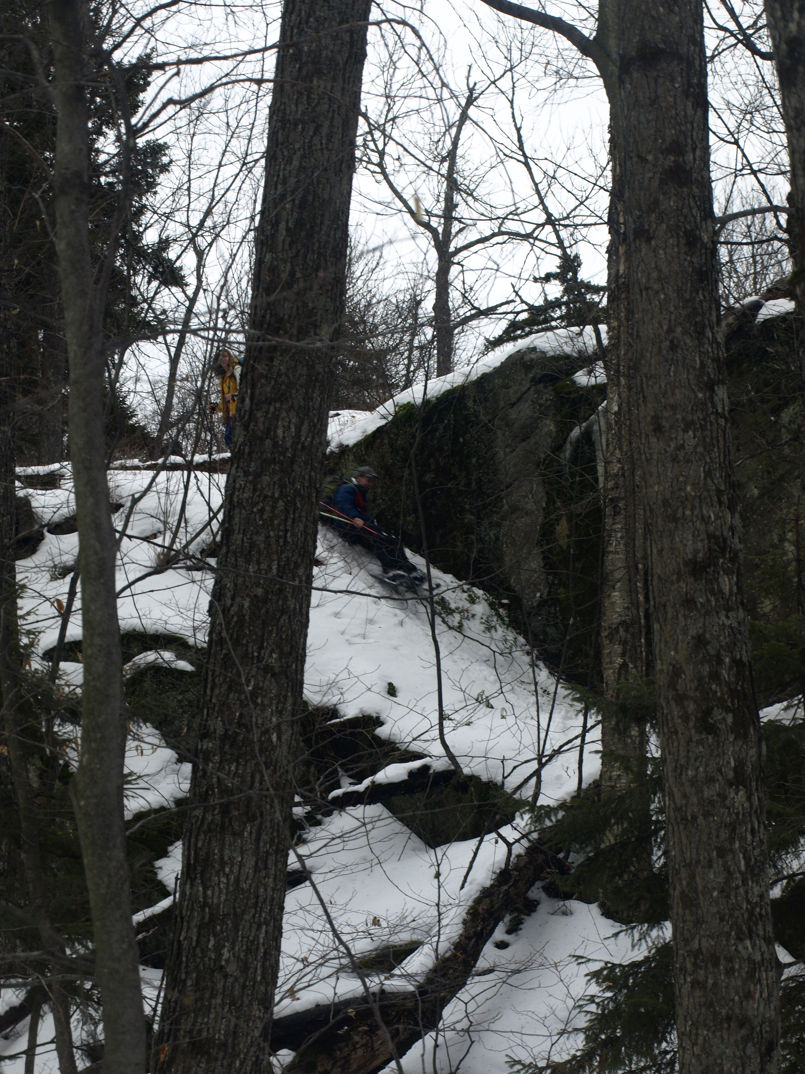
A few butt slides and a couple reroutes around some massive cliffs, and we were back at the marshy flow but much closer to the trailhead. This time the flow was solid, except for the main portion which was wide-open water. My right foot found the bottom, and then later my left would have nearly the same fate as the shore was unstable before me. Luckily the gaiters kept out most of the frigid waters, and we were ever so close to the trailhead. Once across we had a slight climb up and out of the drainage to reach the trail. Climbing at this point was not what we wanted to do, but with no choice we made the best of it.
The day was coming to an end, and our snowshoe trip was as well. Not one of us was unhappy to see a trail under us; even the passing cars on state Route 28 had a sound of relief to them. It felt so good to sit down and relax, and now we just needed to wait for the heat to kick in. My plan was to have a hot cup of coffee kick in very soon after that.
There isn't a shortage of outdoor activities in Hamilton County. When you're done exploring the Adirondacks, why not explore one of our beautiful downtowns? There's something for everyone!
