Since "winter" seems to be continuing right into spring this year, I had another wonderful cross-country ski trip with terrific snow conditions! I skied on Round Pond Road in the Round Lake Wilderness Area. It was an overcast day with continuous light snow.
Round Lake Wilderness Area
The Round Lake Wilderness Area in Long Lake was created in 2005 and contains 11,000 acres. Round Lake is found within this area. Most people canoe the outlet of Little Tupper Lake to reach the lake and its 11 designated campsites created in 2007. Round Pond Road, accessed off Sabattis Circle Road, is a little-known way to hike, snowshoe, or ski to some of the campsites on the northeastern side of Round Lake.
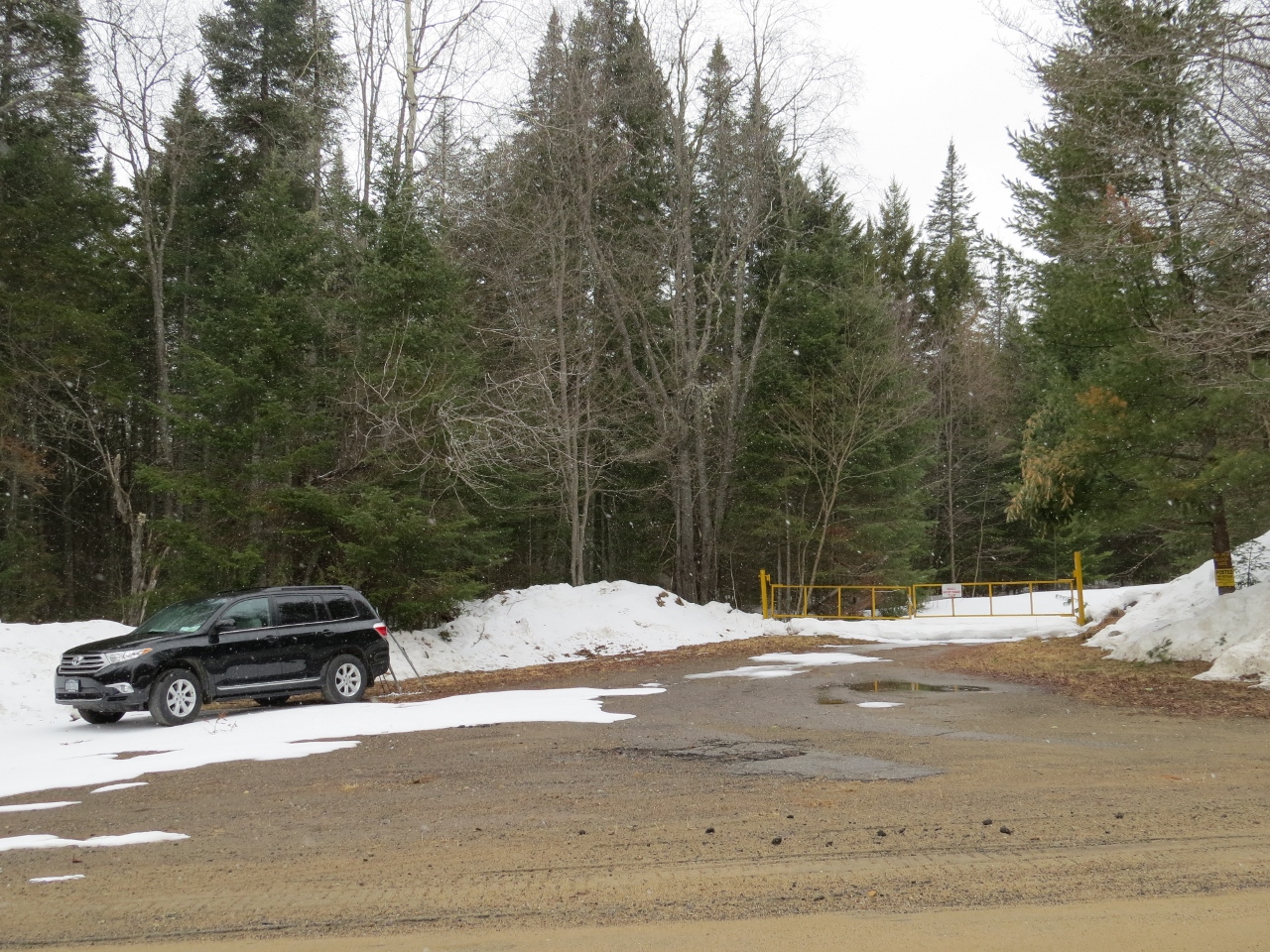
I used the term "little-known" for several reasons. First, the metal gate at the end of this road has a sign reading: "Trophy Ridge Sportsman Club," and prominent "Posted" signs on nearby trees.
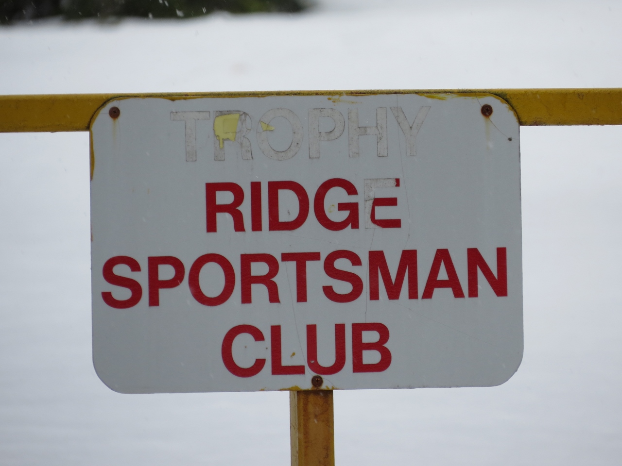
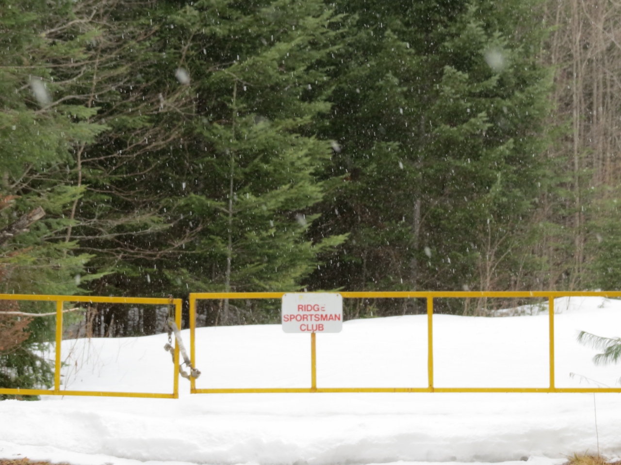
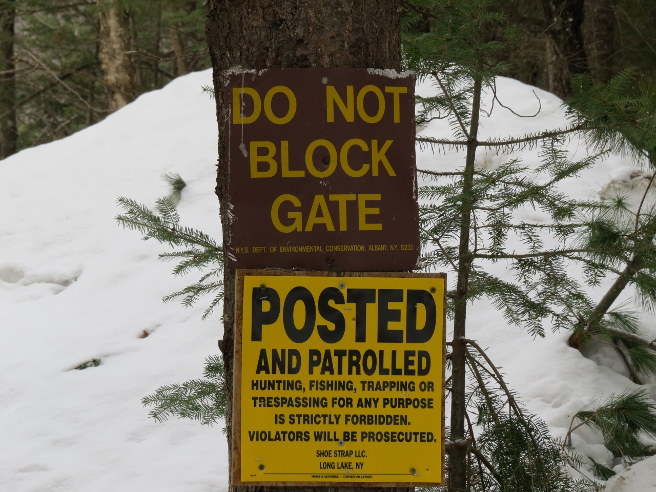
There are no visible signs to indicate public access. Second, there doesn't seem to be any official information or maps regarding this trail. Third, there are never any cars parked at the gate area. I happened to be looking at a William C. Whitney Wilderness Area map one day when I noticed that it was likely that Round Pond Road was accessible to the public. The forest ranger for that area confirmed that the trail is indeed public! He mentioned to stay left at intersections, since the lands to the right are private.
The Ski
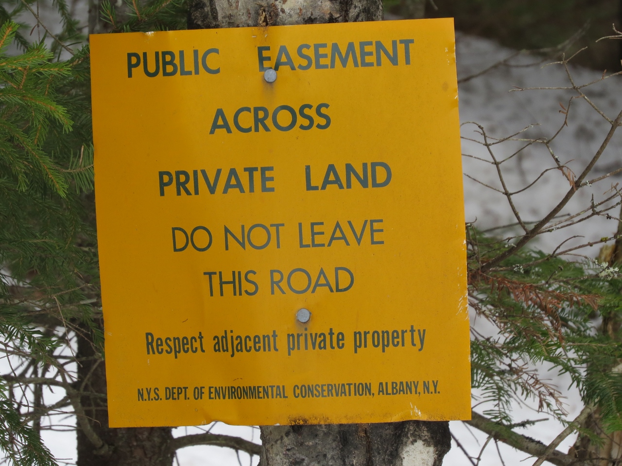
The snow depth ranged from a foot to a foot-and-a-half, but there was an ice layer that was supportive with a bit of new snow on top – perfect! After skiing a hundred feet or so, trail signs begin. One sign warns to stay on the road.
After passing Hedgehog Pond you come to a clearing – it appeared to be a sand pit, but hard to tell since everything was snow covered.
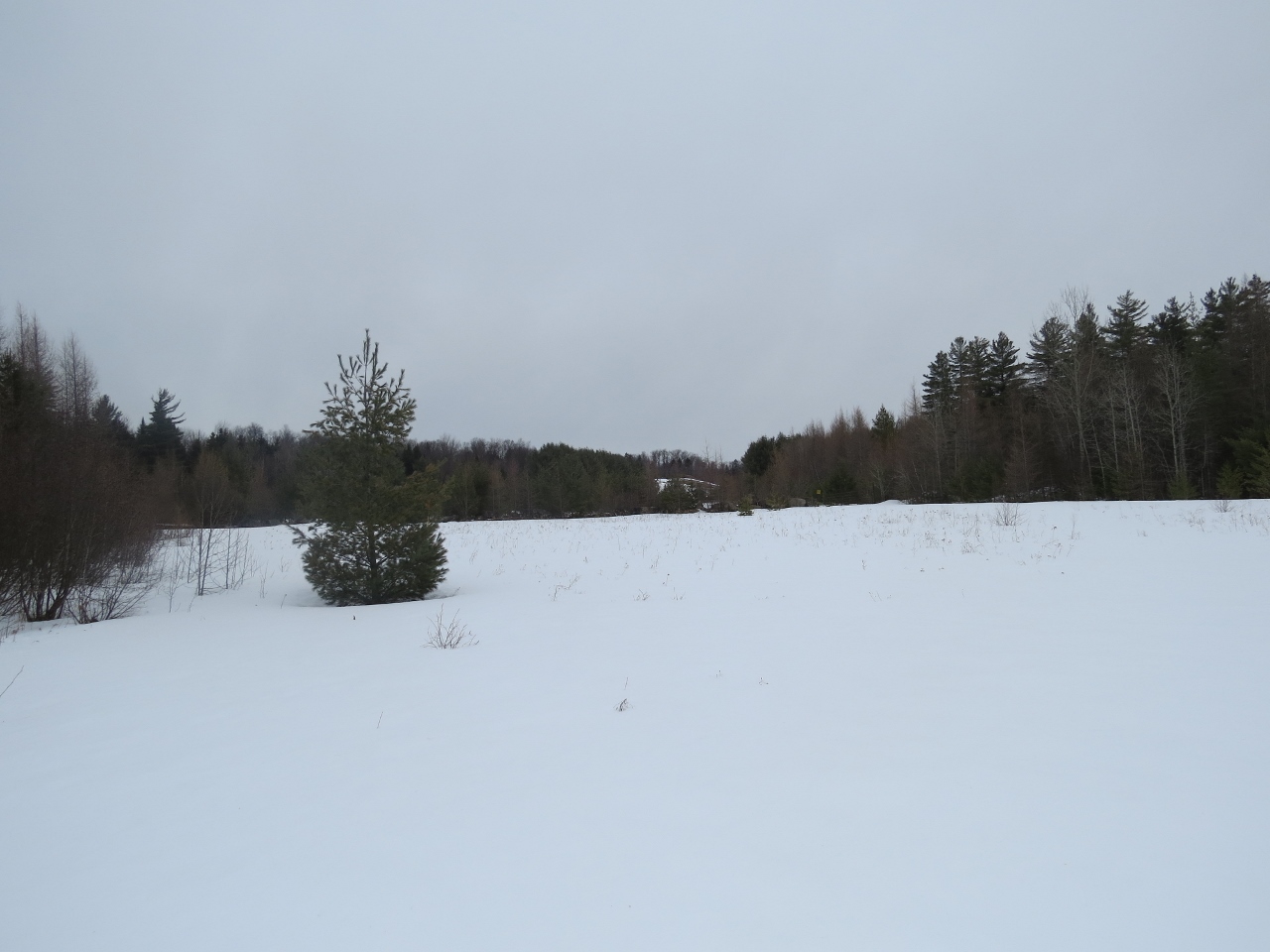
Stay left and continue... Another smaller, unnamed pond is down in the forest on the left. There are some boreal forest patches and boggy areas.
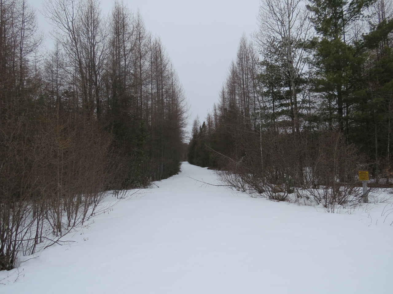
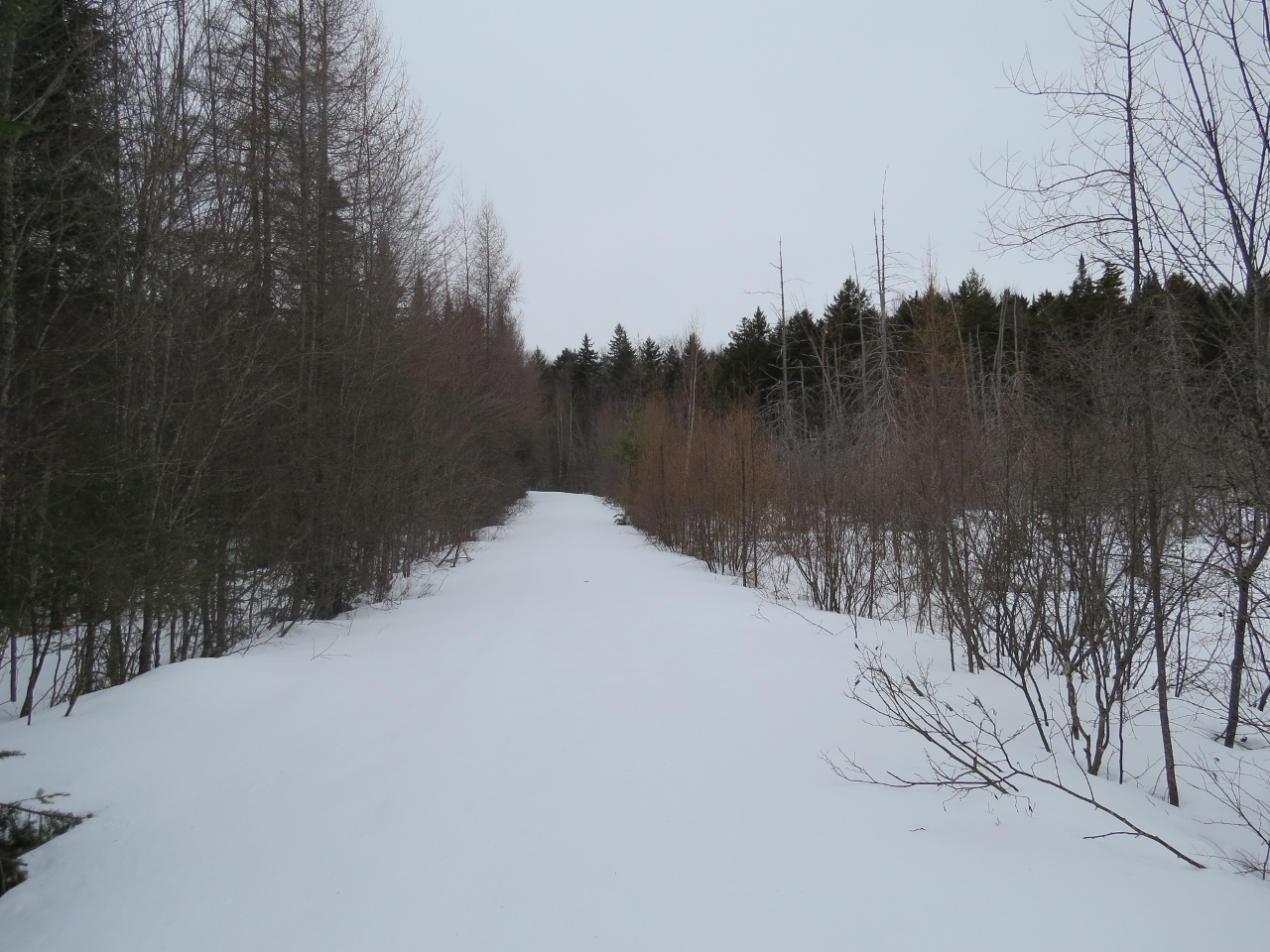
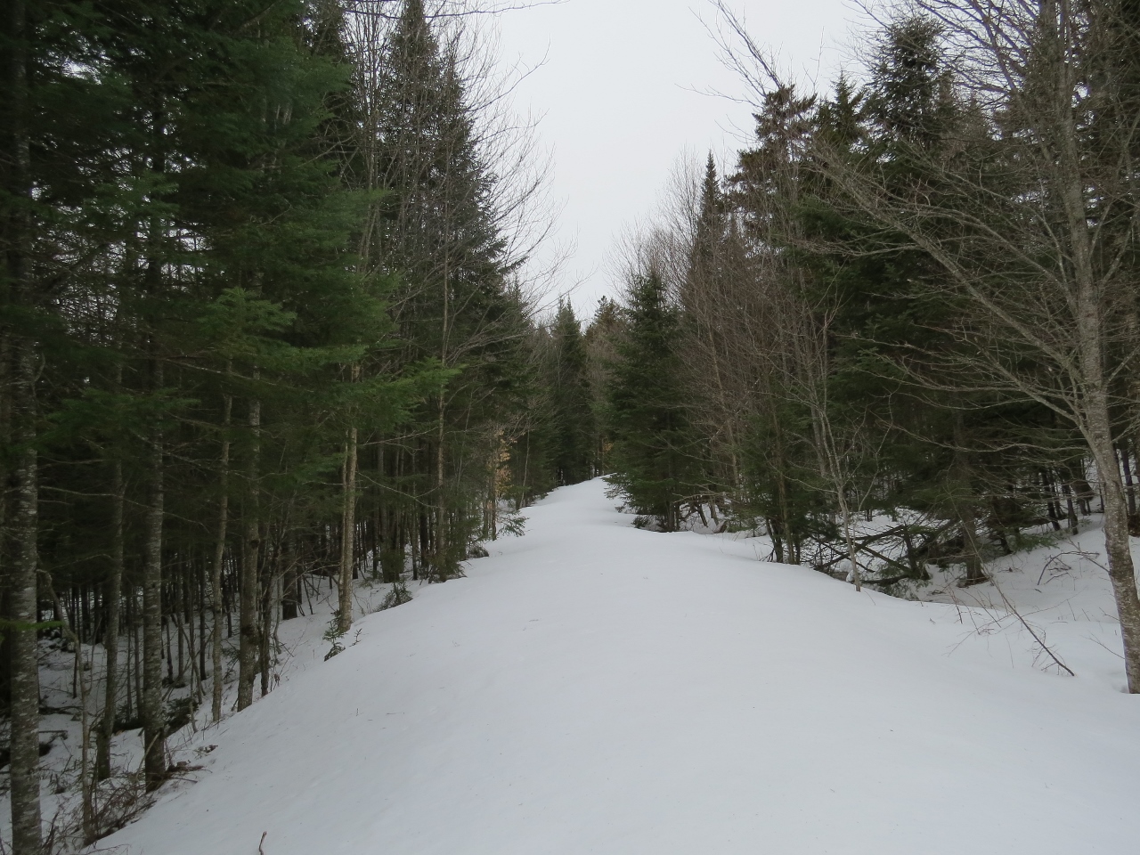
At a triangular intersection the trail signs point left.
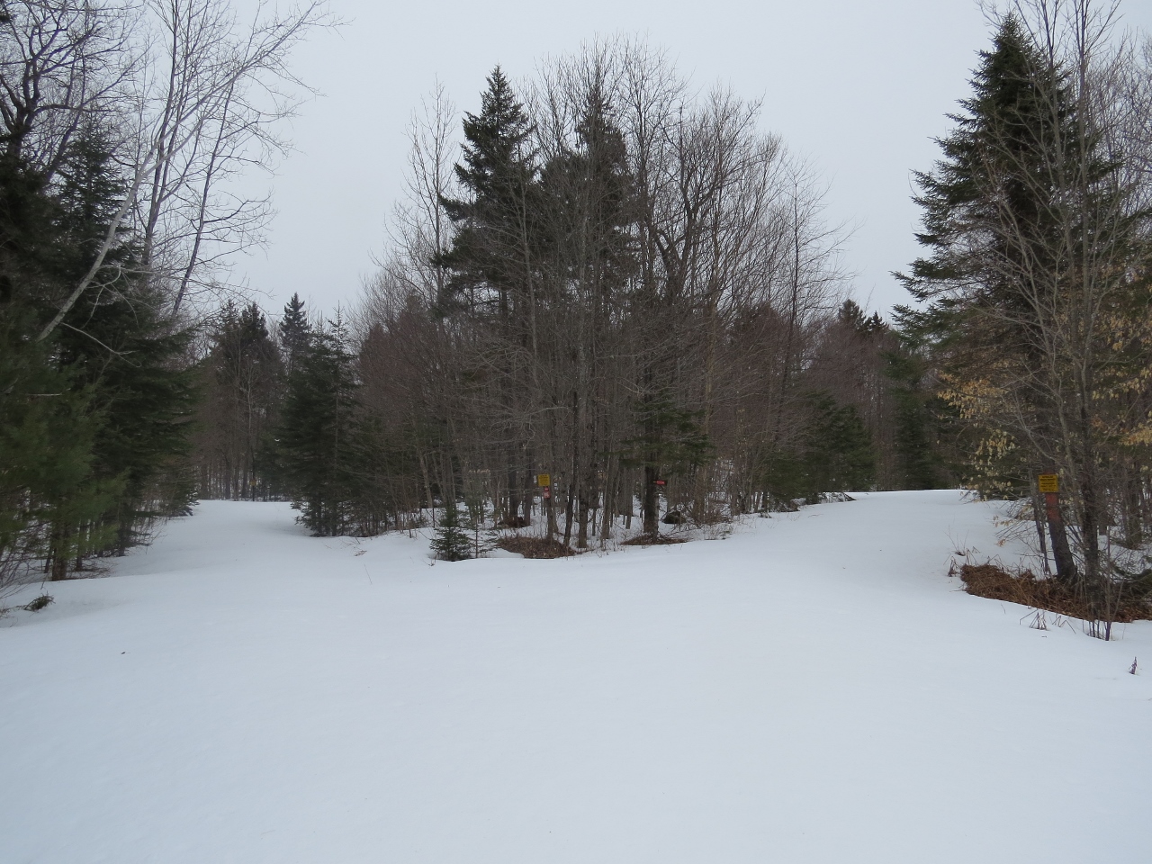
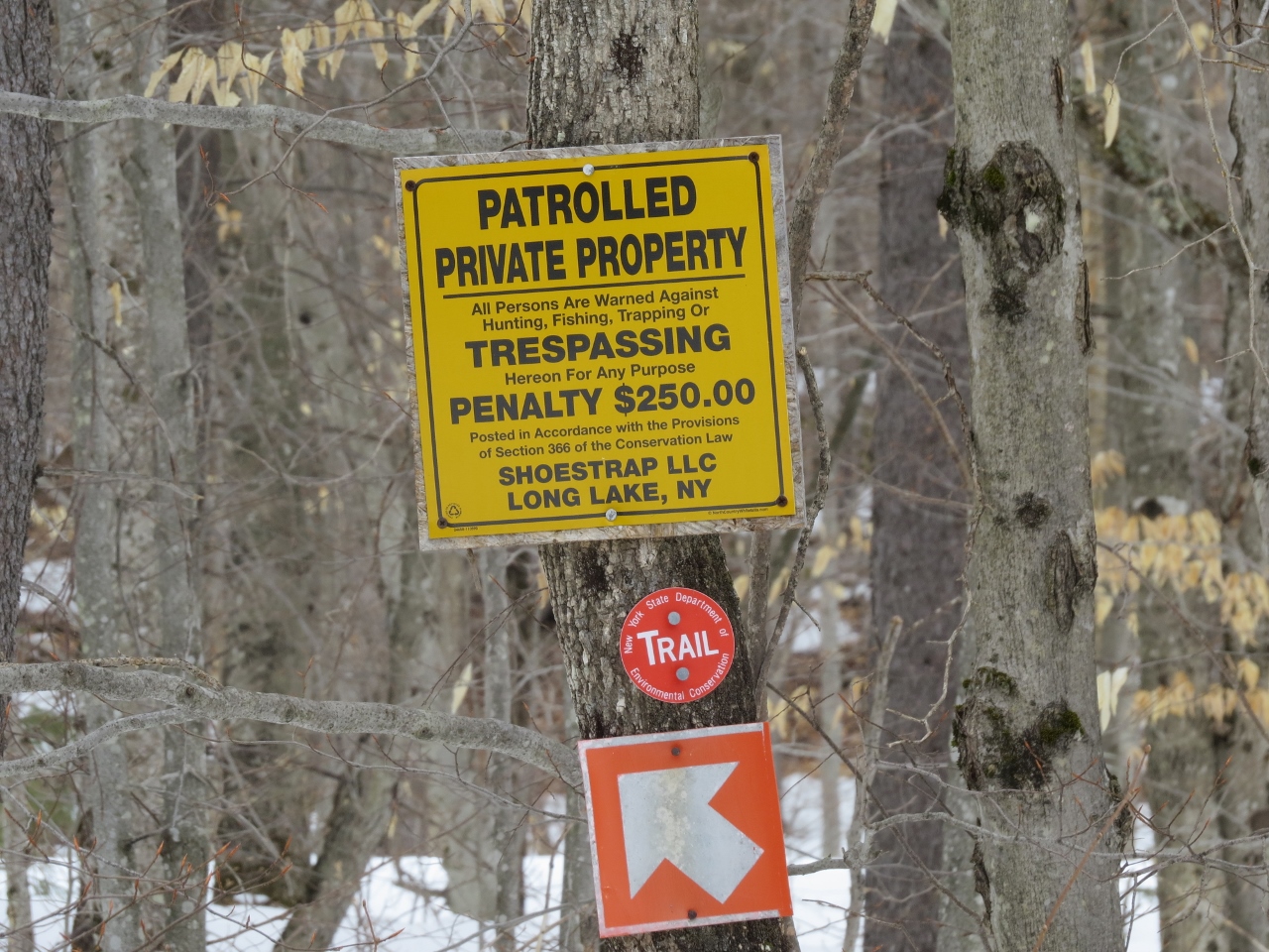
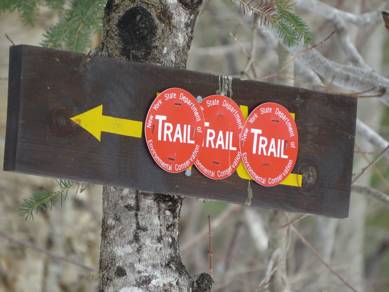
Past this intersection, after going up a small hill, there is a left turn indicated by a trail sign. Moose tracks were found at this location. It was remarkable to see the huge stride this animal takes. The snow did not support the Moose and it must have been exhausting for the animal to sink in the snow with each step.
Canada Geese flew north overhead in continuous waves throughout my ski. Black-capped Chickadees and Red-breasted Nuthatches vocalized, but on this snowy day, it was fairly quiet for avian life.
The forest in this section is primarily second growth deciduous.
I found a River Otter slide in the snow near a stream. Several more otter tracks were found in addition to many others tracks including Eastern Coyote and Snowshoe Hare.
Along the trail there is a left turn and I decided to explore it on my way out. Continue straight for a very short distance, and there is an orange, mesh gate with New York State Forest Preserve signs.
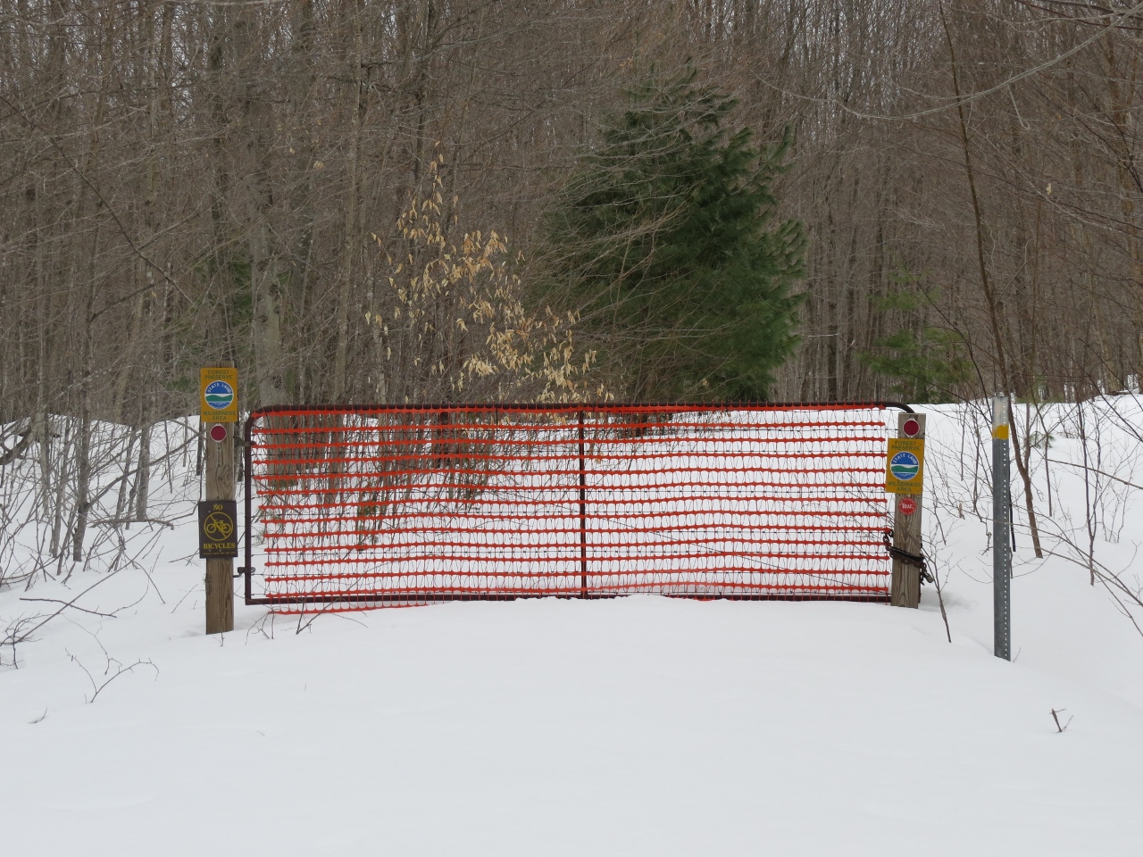
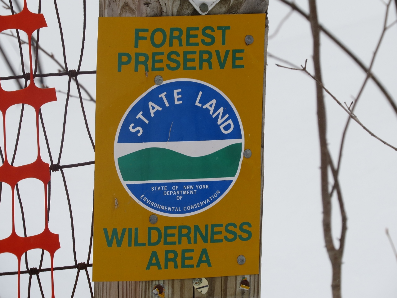
A few hundred feet past this gate is the left turn that heads down to the shore of Round Lake. I decided to continue on straight for a short time. There is an old road that TOPO maps indicate leads to the north end of Round Lake and its outlet, which flows into the Bog River. I decided to explore that road another day and turned around.
Secluded Round Lake
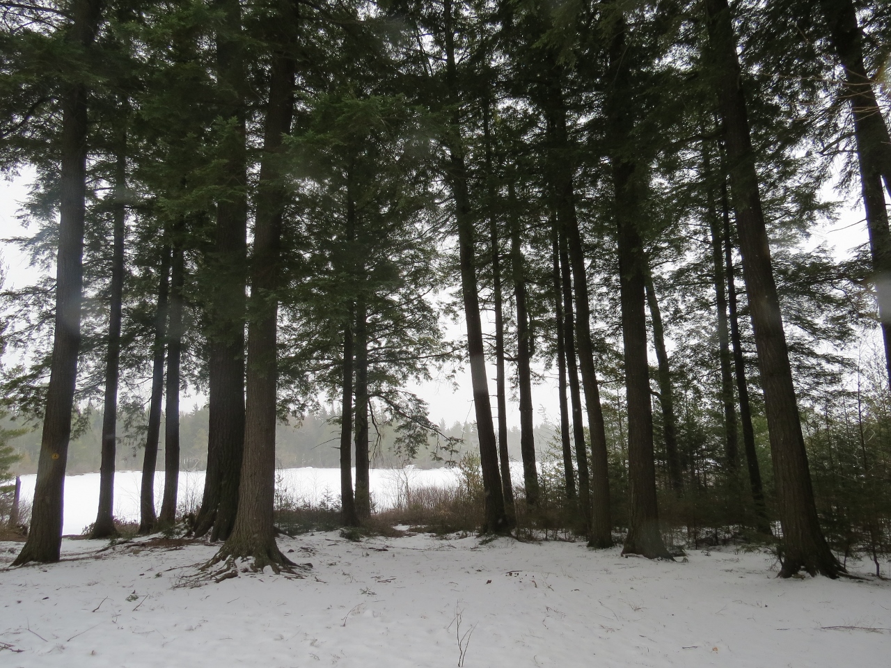
Take the turn down toward Round Lake. There is a lovely campsite along the shore with large Hemlock trees. I took a break here and found that while the snow was supportive on skis, I was punching through in just my boots!
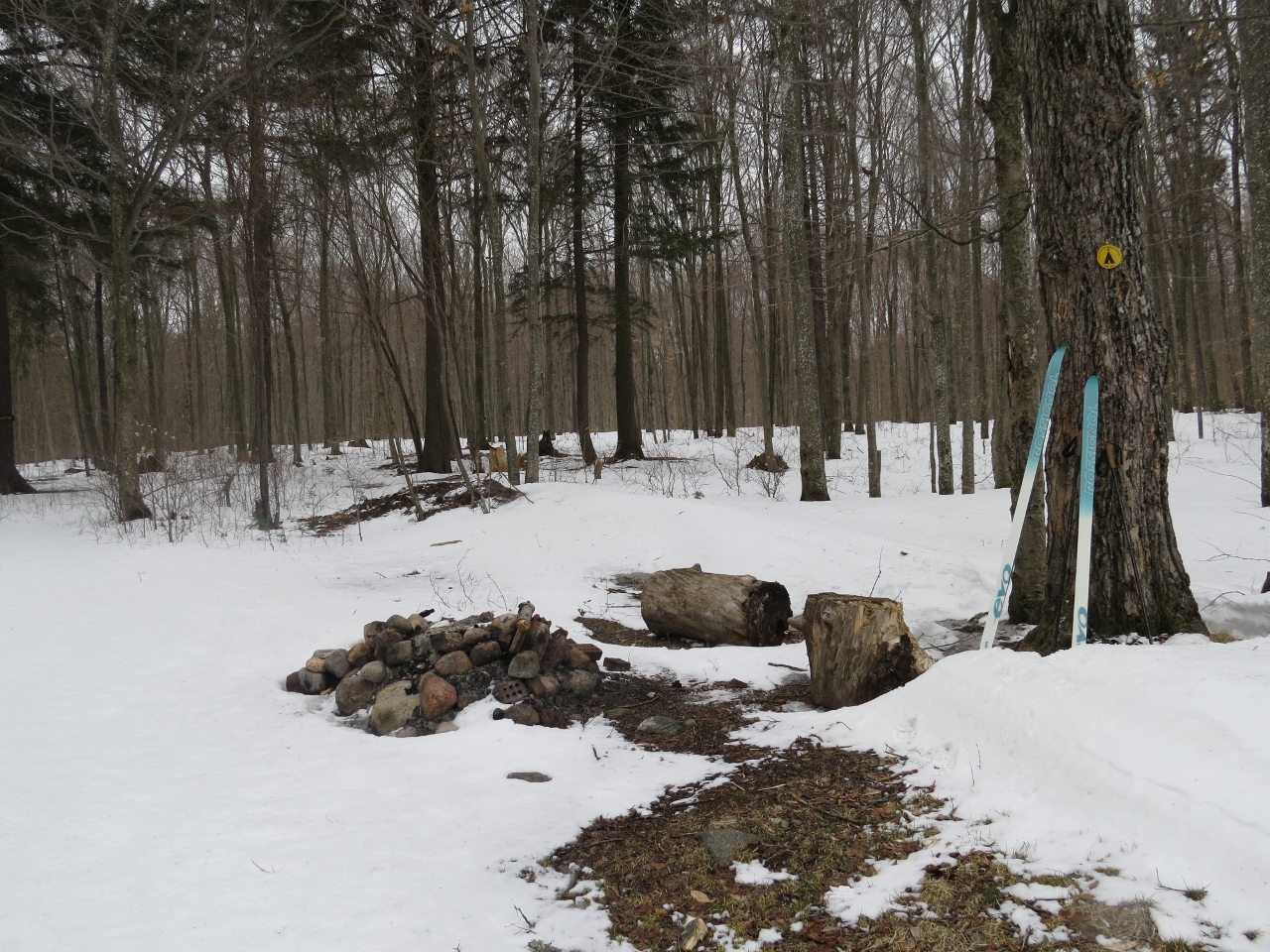
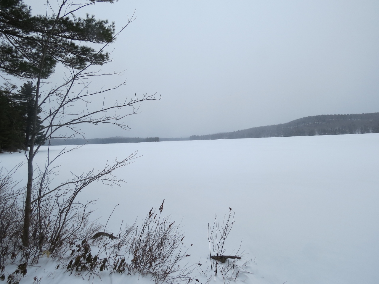
Continue on the trail. It ends at another campsite along Round Lake in a secluded bay. There were even larger Hemlock trees at this site.
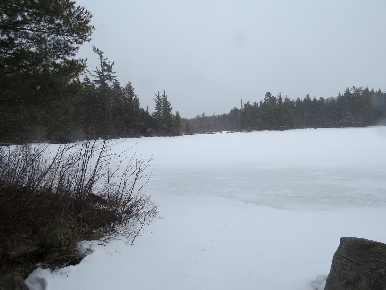
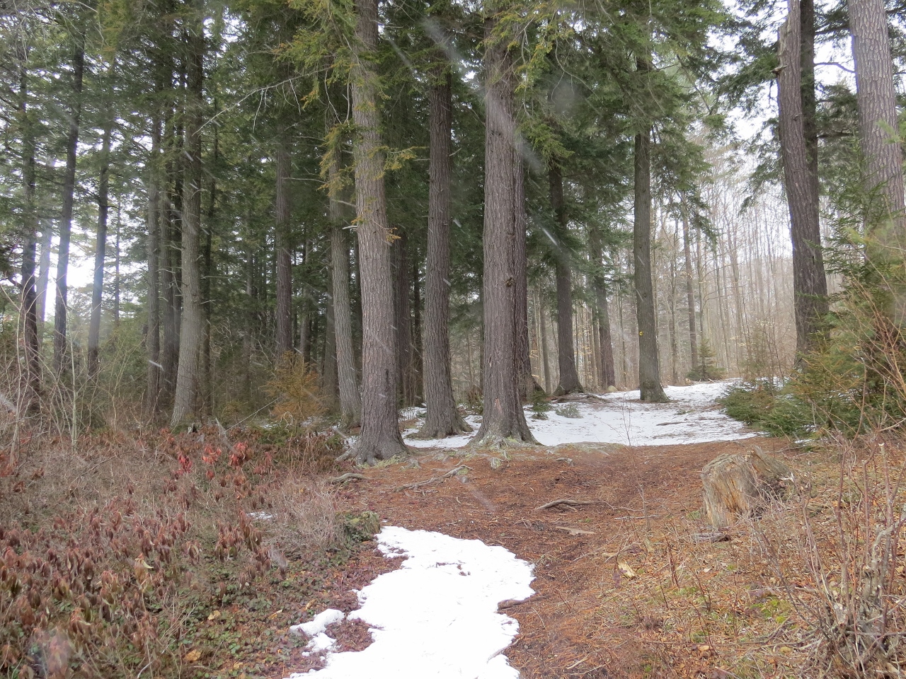
The snow was coming down harder so I headed back up the trail.
Around the orange, mesh gate, I took the other turn to explore on my way out. It leads through deciduous forest and down to a wet boreal area before ending in a large clearing. I skied back to the main trail and headed to my car.
The trail was fun to ski – it has gentle ups and downs, and a few hills, but none difficult. There was no need to sidestep any sections. The ski trip was just under 5 miles. Some people have been hiking to the north end of Round Lake from Route 30 near the Bog River (not an official trail, but I hear it may become official). It would be fun to do a thru-ski (or hike) from Round Pond Road to Route 30 by having cars at both ends. It appears to be ~ 6 miles. Stay tuned for updates!
To reach Round Pond Road, travel ~2.5 miles on Sabattis Circle Road (end closer to Tupper Lake) to a clearing area with a yellow gate on the right. Do not block the gate when parking. If you travel in from Sabattis Road (end closer to Long Lake), Round Pond Road is ~3.5 miles in on the left.
The half circle made up by Sabattis Circle Road and Sabattis Road is about 6 miles. This is a wonderful back road for observing wildlife. On my drive to the trailhead, a beautiful Eastern Coyote ran across the road in front of my car. I often see interesting mammals and birds along this road. Recently, I observed a Marten chasing a Snowshoe Hare! Moose, Black Bears, Fishers, and River Otters are often observed also.
If you plan to visit the Round Lake Wilderness Area, there are many comfortable lodging options and nice restaurants in the area!


