A bit of bushwhacking and a bit of trail hiking in the Inlet Region
Springtime is a challenging time for hiking, especially for portions of the hiking experience that is completed off-trail, but I wasn't about to let that stop me. I knew the conditions would be dicey, inconsistent, and possibly at times downright difficult, so I looked over my maps and tried to find a region of the Adirondacks that might have had better luck with snow melt than I was having at home. I looked at Piseco Lake, but I knew that region had gotten hit hard this winter with heavy snowfall, and I knew Indian Lake would be a hard bite to chew. Eventually I settled on Inlet and a mountain I had been thinking about exploring for about five years now, just never took that leap. We knew snowshoes would be a must at this point in the spring, and we also knew that the following week, we could probably leave them home; looks like one last snowshoe trip for the season.
Not to be confused with the Cascade Mountain, Lake, and Waterfall in Keene, this is a smaller sister of that nearly identical threesome. Does size really matter when you are talking about the beauty of the Adirondacks? I think not. While this Cascade rests at just over 2400' in elevation and the High Peaks Cascade is over 4000' in elevation, the wild beauty is not smaller.
Cascade Mountain
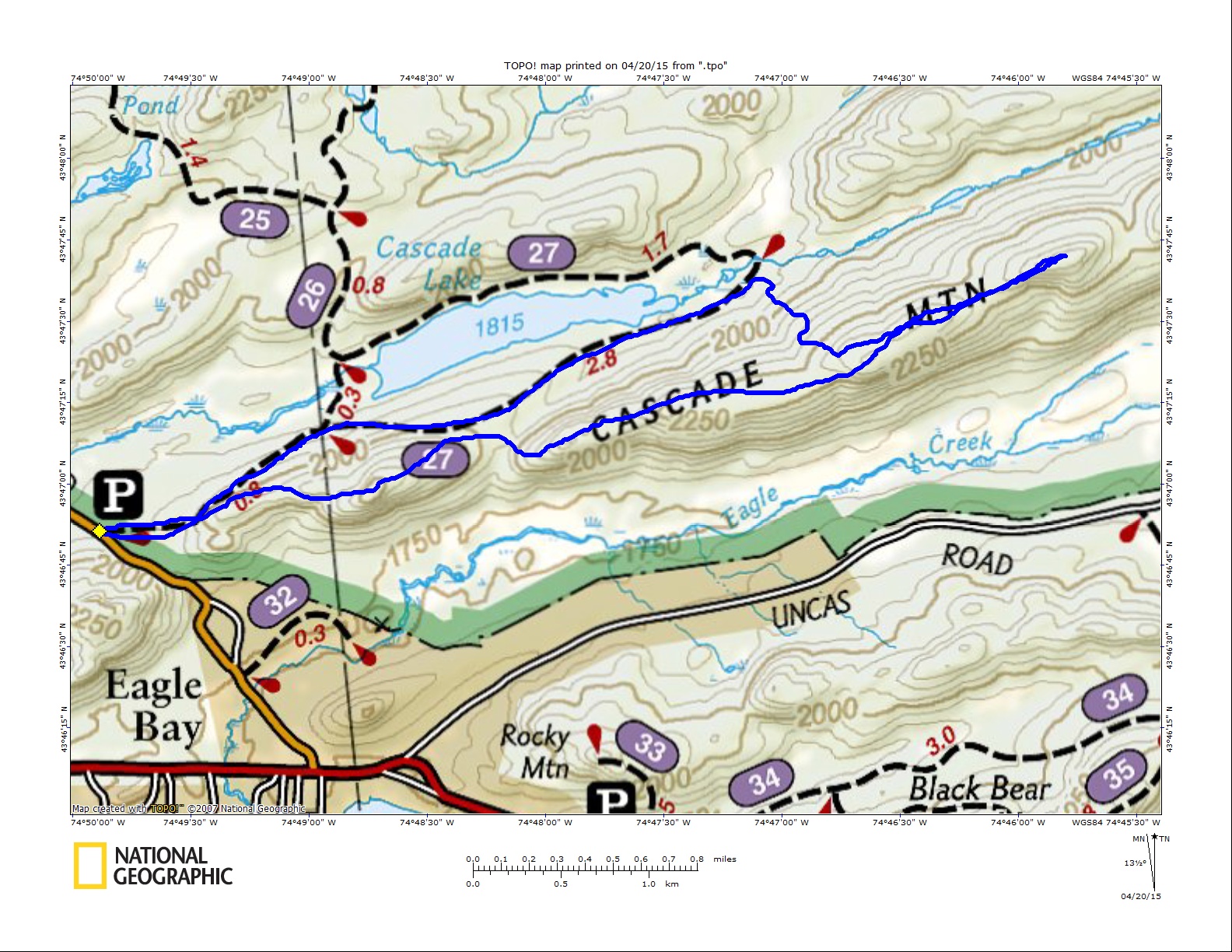
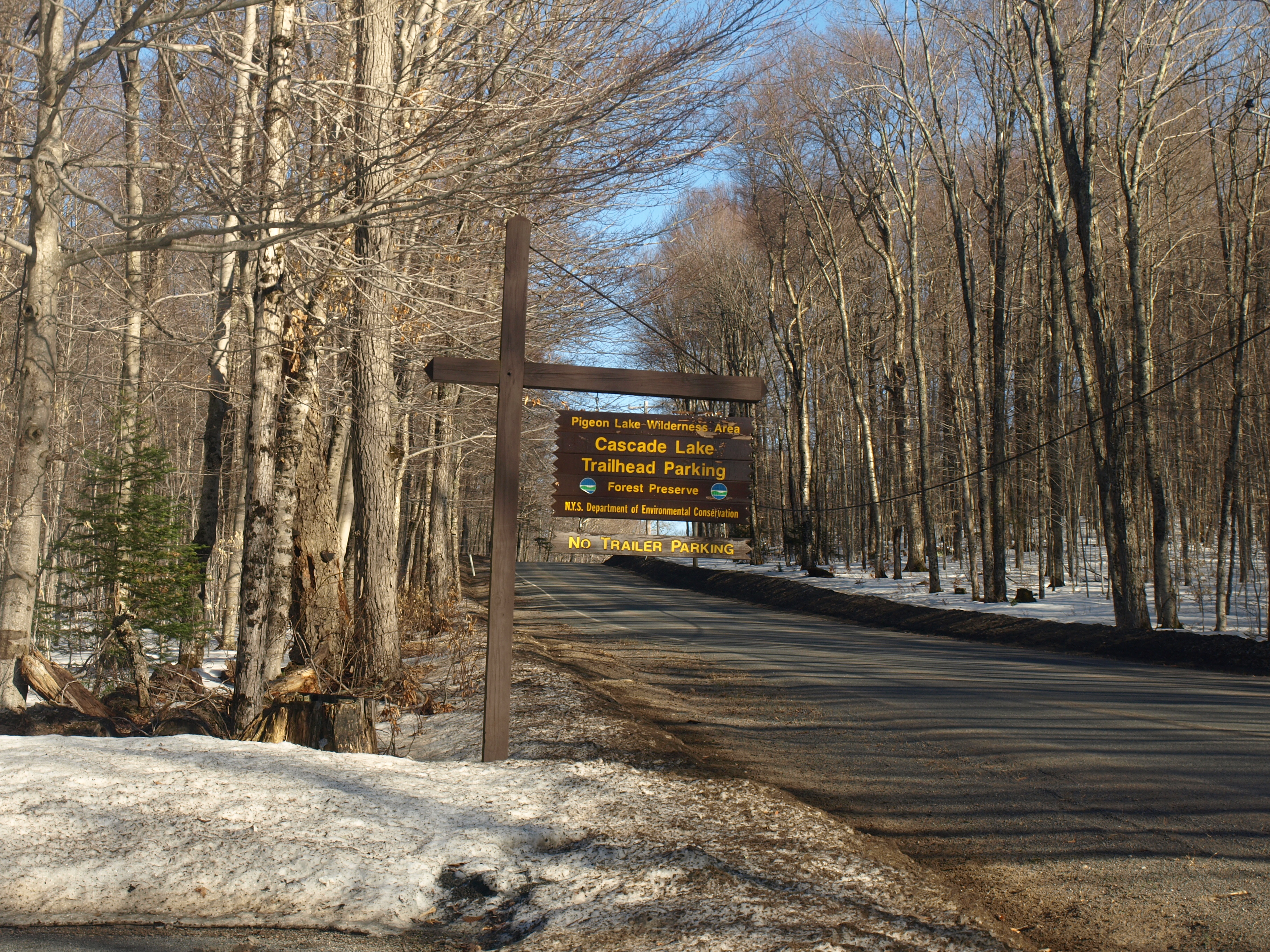
With our crew coming from two different directions, I met up with Jim and Jim at the trailhead for Cascade Lake off Big Moose Road in Eagle Bay, which is a pebble's throw from Inlet; in fact this trip would start us in Herkimer County, bring us into Hamilton, and back into Herkimer. This tallies us up to 3-Cascades, 2-Jims, and 2-counties, not bad for a day's work. From the trailhead we started snowshoeing in to where the old trail for Cascade Lake emerges from the right, this placed us about 0.3 miles from the trailhead and at the base of the long ridge of Cascade Mountain. Plenty of snow on the trail didn't mean plenty of snow on the ridge, and we were right. We found ourselves walking on bare ground at times with our snowshoes on; a bit odd looking I must admit, but we couldn't keep taking them off and putting them on.
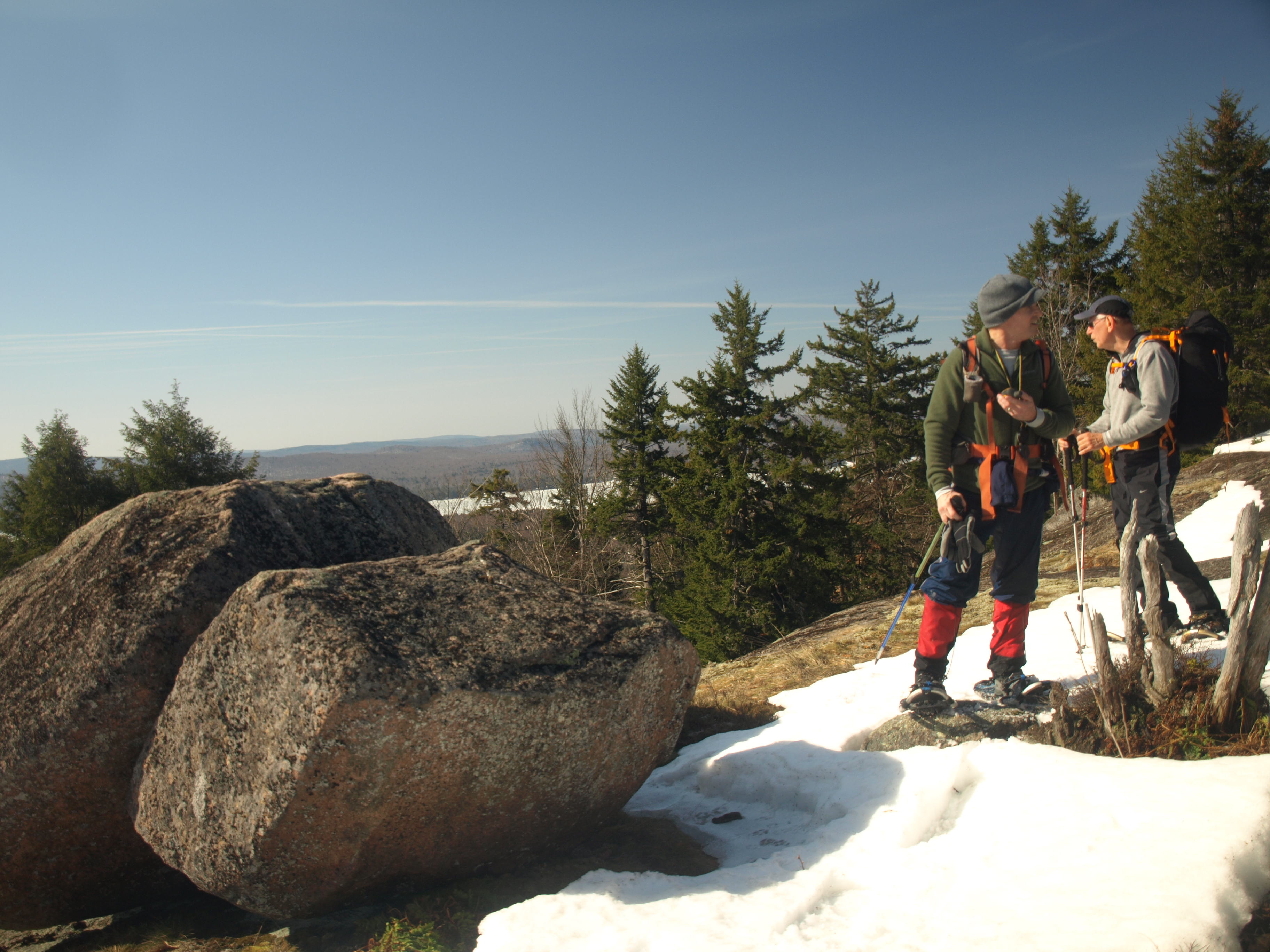
Atop the ridge we started a much more moderate climb toward the base of the first real summit. We wanted to stick to the southern side as much as we could to avoid the really deep snow on the north, but it wasn't always an easy prospect. We caught a couple small views en route to the base of the first summit, and it ended up being a partially bald rocky dome, with a couple of balanced boulders resting atop. We meandered with snowshoes on over the small section of bare rock and ground, and looked for purchase on the grass and moss to avoid slipping with the unneeded traction. The top was stellar and the views were equally so. I look now at pictures of us snowshoeing the grass and as comical as it looks there was ample snow on the other side of the viewing area.
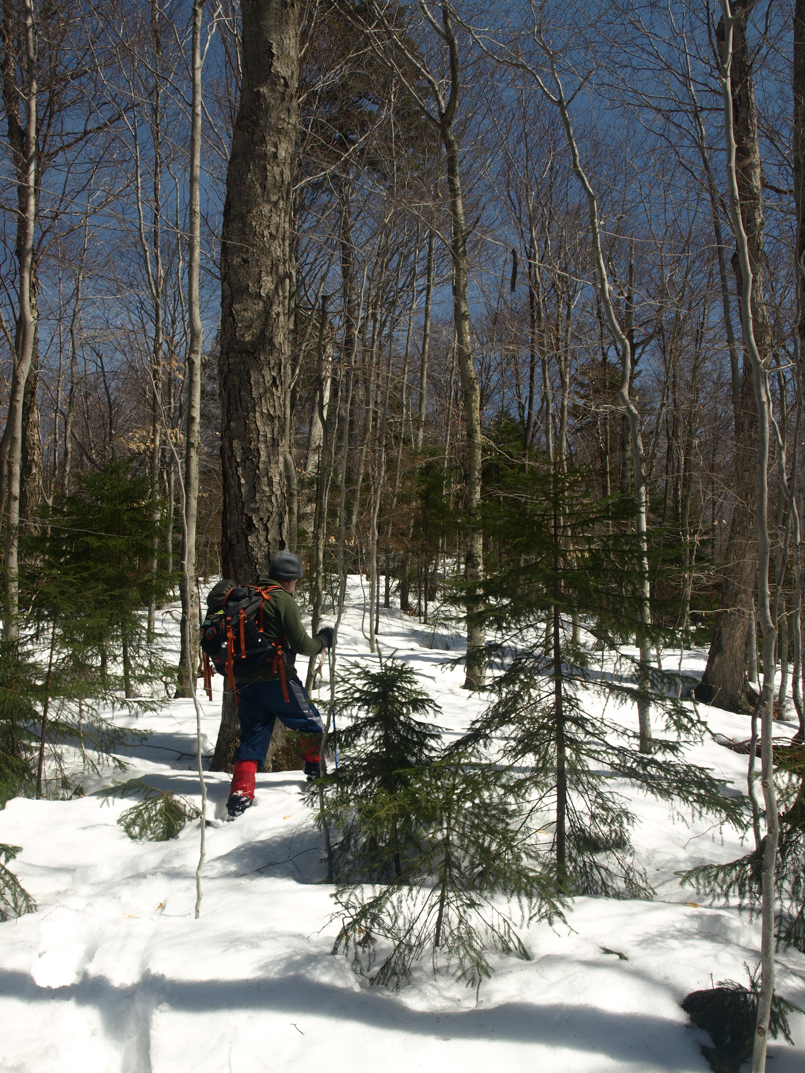
Fourth Lake was directly in front of us as well as the foothills of Herkimer County and the taller summits of Hamilton County. Directly across the valley rested Rocky and Black Bear Mountains. We literally slid off this summit into the mashed potato snow below us and started breaking some serious trail. The snow was not all that overly deep, about 6 inches more or less I estimated, and melting fast. There was a layer of crust, not solid enough to hold much weight, and then some snow atop a second thin layer of crust just above the ground. This was truly a nightmare sandwich for me if I ever saw one. I literally had to "walk like a giant" through the woods. I had to forcefully stomp on the snow to insure it would break through, otherwise it would hold just long enough for me to push off; it was a bit like walking up steps without much of an incline, my quads were getting whooped. Jim insisted on helping break trail, but since I have about 70 pounds on the guy, he was about as useful as an pickaxe in a gold mine, though I appreciated the gesture.
We pushed along hoping to find additional views along the ridge, and not from lack of trying, but we had a hard time finding much of anything. On the map the south side has "stacked" contour lines as we like to call them, which does open up the opportunity for additional views, but there were none to be had, the drop was just too shallow and the trees too tall. The second small summit along the ridge passed by quickly and then we stood atop a long flat section of the ridge. This flat section would last over 0.4 miles from end to end, with minor undulating hills in-between, not large enough to be delineated on a map, but present none-the-less. We had two more small bumps in front of us before we would stand atop the highest point of Cascade Mountain. These bumps were not of any large proportion, but by this time we were getting tired; so we stopped for a quick snack before we pressed on.
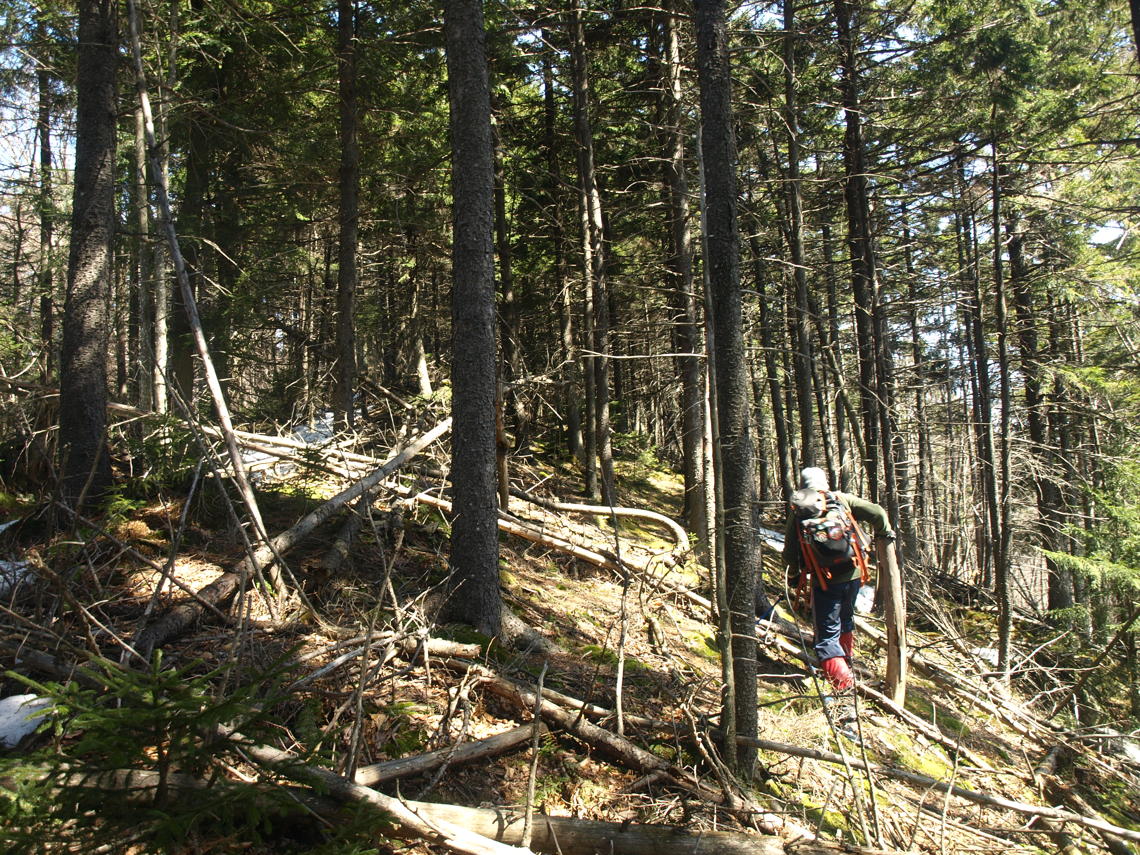
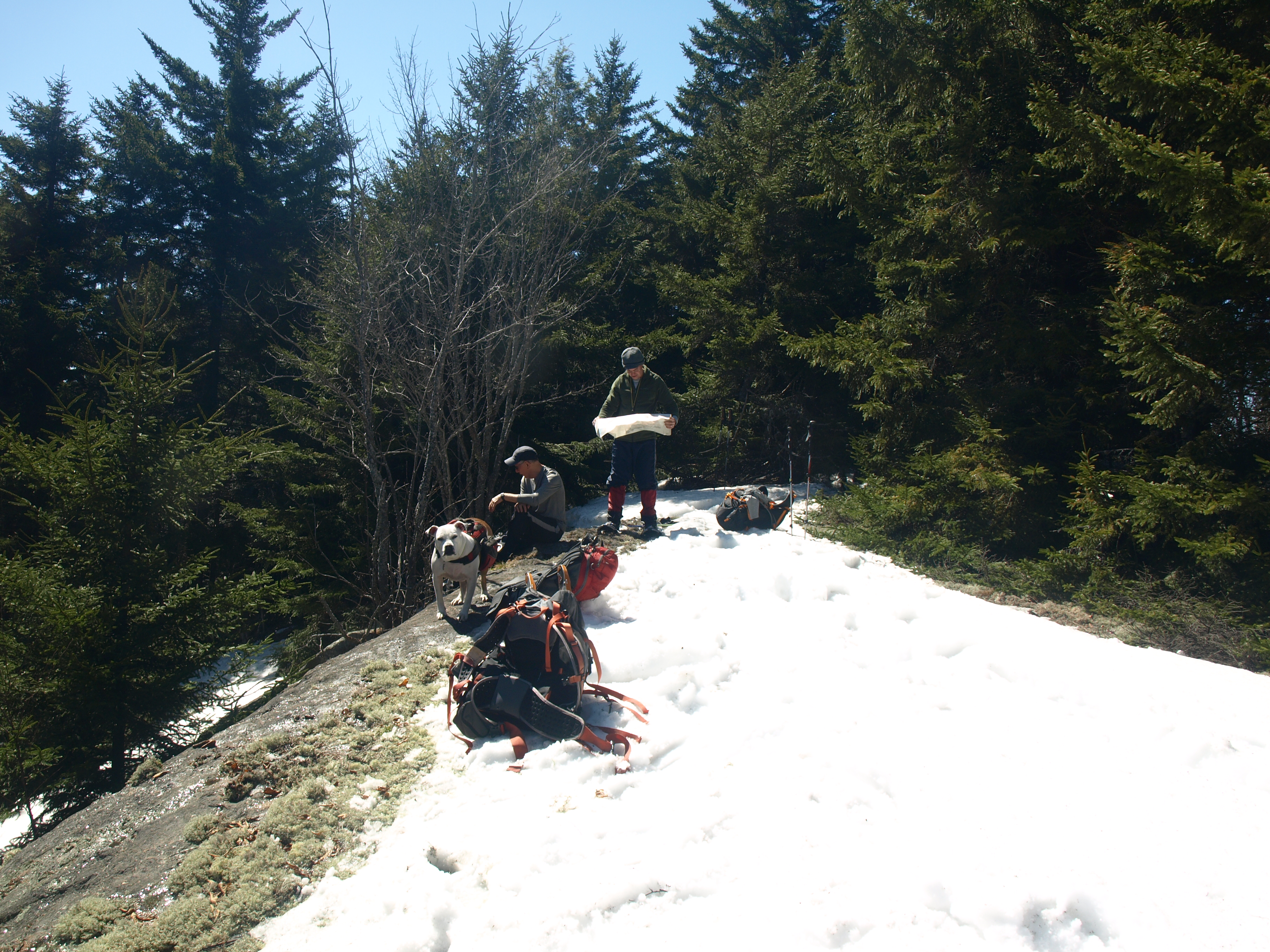
Looking down I now noticed that Abby's pack was shredded on one side, she must have caught it on a dead snag or something. The pocket was empty of its content which was a foldable water dish and her food, I guess it would be human snacks for her, again. We dropped into a narrow col below the final summit and from here the ground was naked as we pressed on along this narrow ridgeline. It was only about 0.2 miles to the summit, and we suspected it would be snow-covered again soon enough. As we tripped and stumbled ourselves over the dead spruce, we questioned our choice, but we remained unaltered. There we were on the summit, and what do you know, a rocky ledge presented itself for us to perch ourselves on for a healthy lunch. I had made chicken chowder the night before for the group, and I guess Abby would get a bowl as well. The ledge had snow on the moss still, but the exposed rocky portion of the ledge was snow-free, we could actually sit down. This was the first time in quite some time that we could relax where it wasn't ice cold, windy and snow covered on a summit; we could actually enjoy some real food and not just bars and a partially frozen turkey sandwich. There were decent views off to the south where we could identify Wakley and Snowy Mountains, but the taller trees blocked the ability for anything sweeping.
Getting to the Cascade Lake Trail
After a decent amount of time we had to make a game plan for descending this guy. With snow conditions that were so tough, we decided to follow our route back down for a bit to where we could make a straight line descent to the Cascade Lake Trail below us. This would allow us to use a broken-out route and require less trail breaking. As we passed over the previous two bumps we found a trail of doggy goods. First her snacks appeared, then her food, and lastly her water bowl, she hadn't lost them all that long ago. I was happy we found her stuff, but even happier that we didn't leave random junk scattered about. We were now to the spot where we were directly over the trail in the approximate area of where the Waterfall was. The descent was fast, but still tough, as we pushed through nearly 12-inches of snow at times. One step left my calf cramped which caused me to do a forward belly flop. My face planted firmly in the snow I tried to push off, but the snow was too deep for my arms to reach solid ground - it must have been an amusing site being seen from the other side of the frustration. But the laughter from one of Jims ended up being a strike on his karma. It was not more than 5-minutes later when trying to cross a snow-covered log that he found himself immersed in the flowing water of a back-country stream, if it were not so warm, I might have showed a bit of concern.
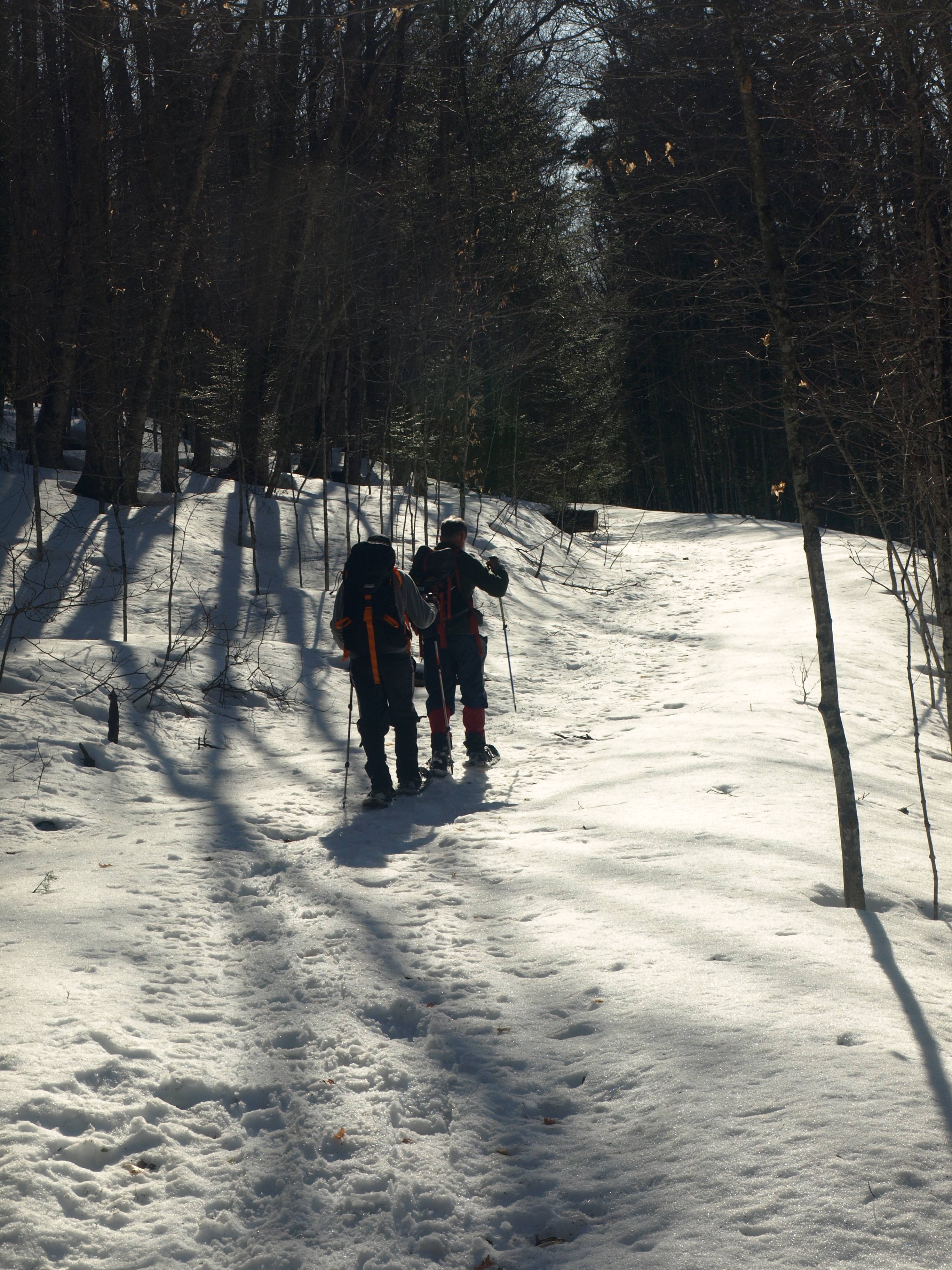
Finally on the trail, I made the wrong decision to head to the left to get to the falls, when in fact it was to our right. A bit disappointed in not seeing the falls, we were happy enough to be on a trail. The trail, too, would pose to be a bit of a challenge. Late in the day, the beating sun was melting the snow along the trail. While it seems this trail gets a ton of winter use, it only gets packed in a narrow course. The packed down trail was now a narrow spine of solid snow with two sides of unconsolidated rotten shaved ice. The spine was deteriorating and at best two snowshoes wide. It was a true test of patience and vocabulary control as we were all tired from the traverse. Seemingly every third step we would fall off the spine, and at times it would hurt as it often twisted our ankles. It also slowed the pace and extended our time on the trail, but we knew that the trailhead would be revealing itself shortly. I was optimistic that the trail would be harder back at the top end of the loop, where use is doubled; I was correct and thankful. We could now move along quickly and that final 1.1 miles back to the trailhead was put behind us, as was the adventure.
We had honestly planned to stop by the Screamin' Eagle for pizza and wings after our little outing, but we were beat and Jim was very wet from his dip in the stream. The drive home couldn't come fast enough. I had a coffee and snack in Long Lake and another round in Tupper Lake, the artificial energy was all that kept me going. But next week would bring another adventure and another tale, and probably more caffeine.
