Hiking in Hamilton County
Estelle Mountain lays a simple 1.1 miles off the main corridor heading to and from Raquette Lake, and with such close proximity I just had to head out into the wilderness to see what was up there. I have a unique fascination with topo maps and wanted to get the most out of my day, so seeing that the hike looked to be pretty short, I wanted to play around a bit – if conditions would allow.
Following the forecast
With heavy rain turning to sleet predicted for the afternoon, Jimbo and I decided to get a bit of an earlier start and locked in the night before to meet at 8:00 am. A couple weeks prior I had a heck of a time on Buck Meadow Mountain with poor snow conditions, not ample for holding the weight of a guy my size, so I was having horrible flashbacks as I was driving over. This was another reason I chose such a short hike to tackle on this temperate spring day. Stuffing up the car with gear it was a rather chilly 7-degree morning, but with mid-forties in the forecast I was not worried about my light layering choice.
Arriving at my usual 10-minutes late for meet-up time, we caravanned over to the Death Falls Trailhead located off Route 28 between Blue Mountain Lake and Raquette Lake. This unmarked trailhead gets modest use from locals, but quite honestly I think it's one of those Hamilton County hidden charms, not quite fitting for the name it has been given. Death Falls is not so much the official name, but more simply a better label than "That Waterfall on Death Brook."

Death Falls
At the gated forest road/trailhead it was obvious that Death Falls had been a popular hike over the last few weeks. It was packed solid as concrete under our snowshoes, if the falls were our only destination snowshoes would have been left in the car. Quickly we passed by the wetlands of the brook, and with a light layer of ice on the stems of the alders, the sun sparkled in our eyes. I noted the trail coming in on the right to Jim. This trail was part way to the waterfall and I've always wondered where it went, I assumed it hooked up over to Great Camp Sagamore.
The base of the waterfall wasn't too dramatic as of yet, but once it warmed up enough for the ice to break free, it would surely be a treat to experience. The waterfall sets in what looks like an old quarry, with solid granite creating steep walls on three sides. Scoping out the terrain we made our way up the steep slopes on the right hand side that led to the top of the waterfall. This ended up being a unique look I had not experienced before.
The snow off-trail was solid, holding my weight with no problem whatsoever, only on occasion would I sink more than a couple inches into the unconsolidated crystalized snow below. We made our way up the brook, but only for a short bit before we decided to stick to the high ground. I proposed to Jim that we either check out the pond before or after we summit Estelle Mountain; we decided it would be after. As we made a course toward Estelle within only a couple minutes we came upon a very obvious trail through the forest heading in the direction of the brook, right toward Estelle Pond, so we changed plans to follow it. Just so you know, Estelle Pond is more of a beaver pond located at just over 2000 feet in elevation to the northeast of Estelle Mountain – a name I decided it aptly deserved.

Great Camp Sagamore
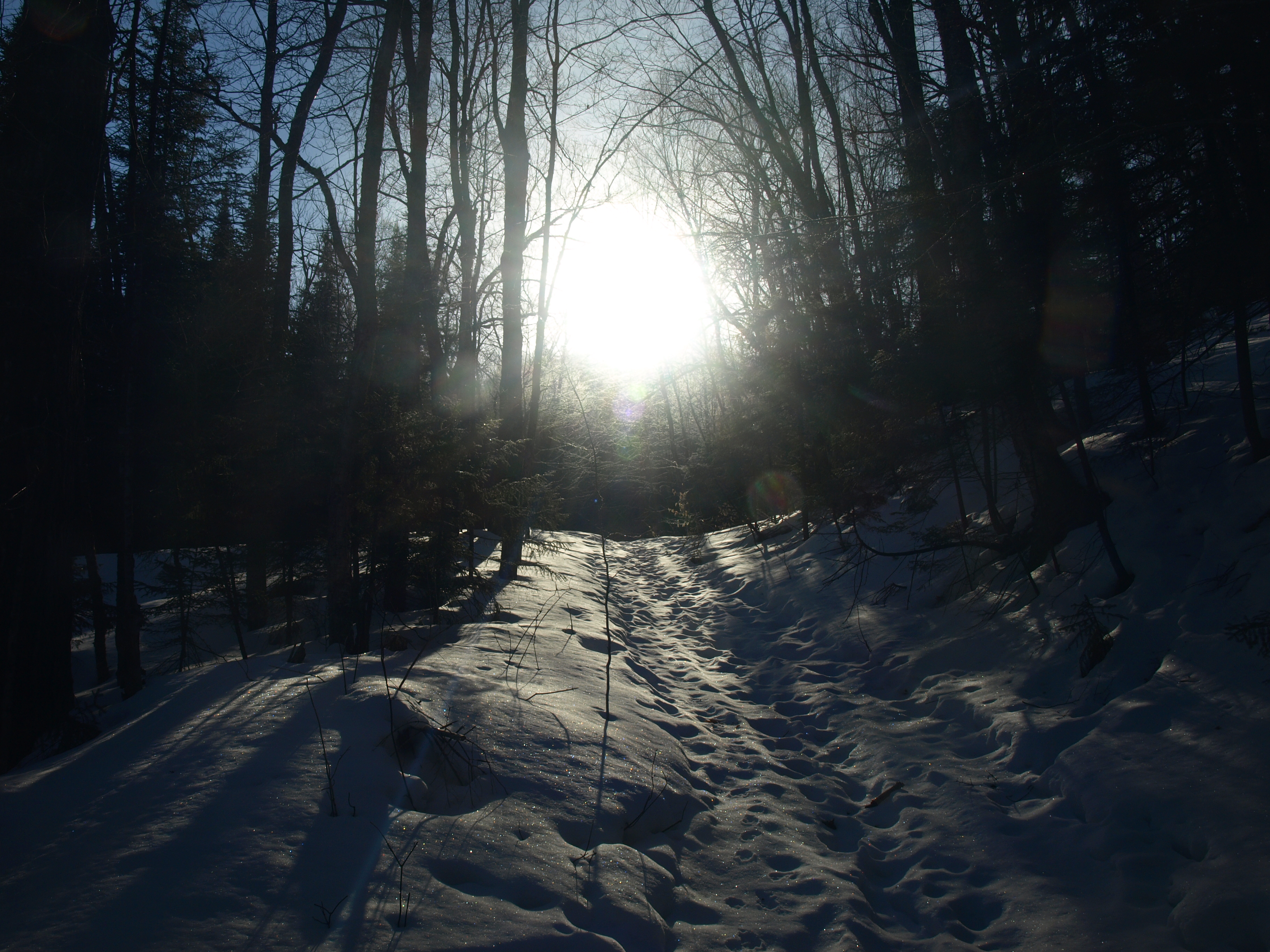
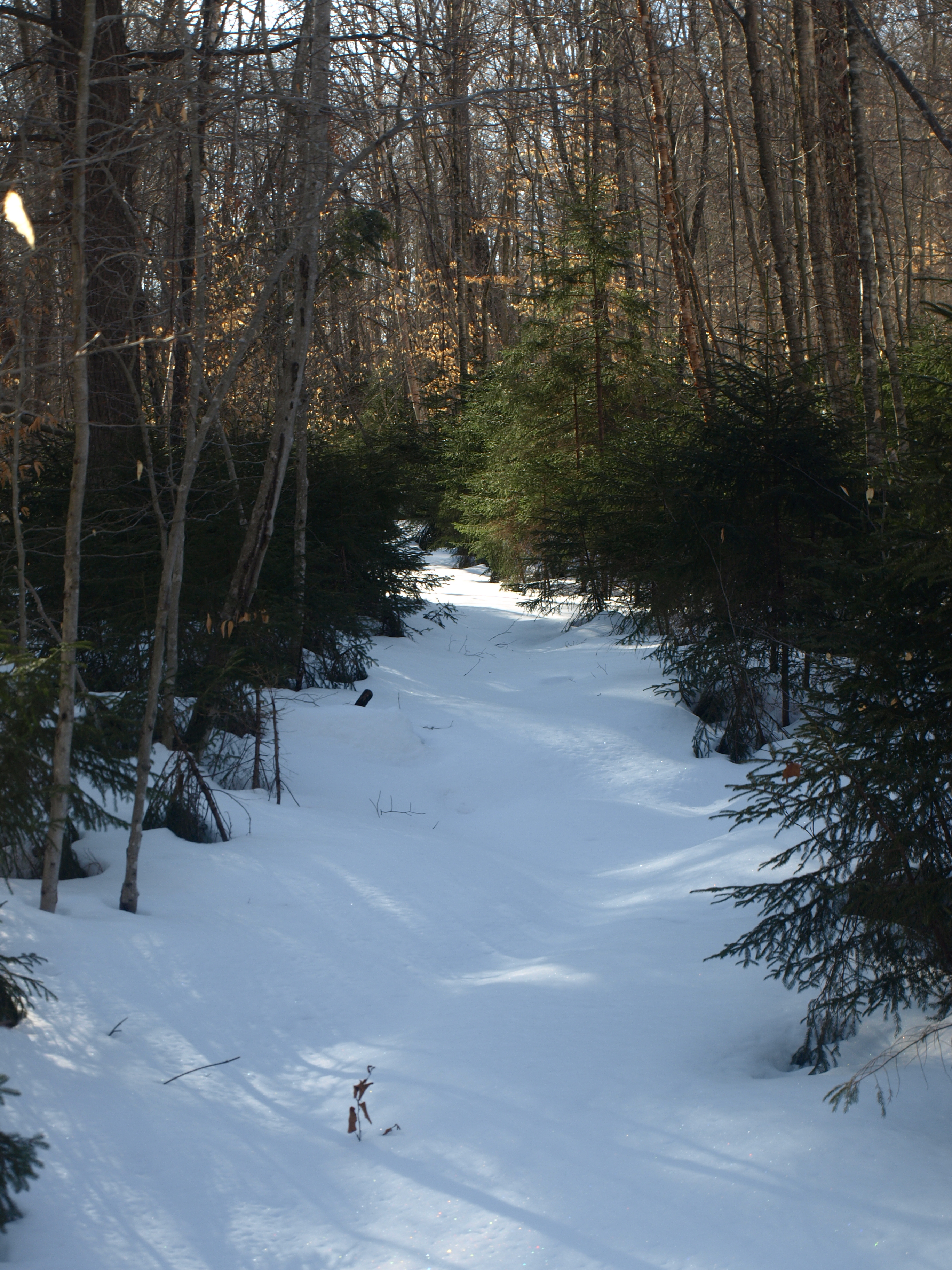
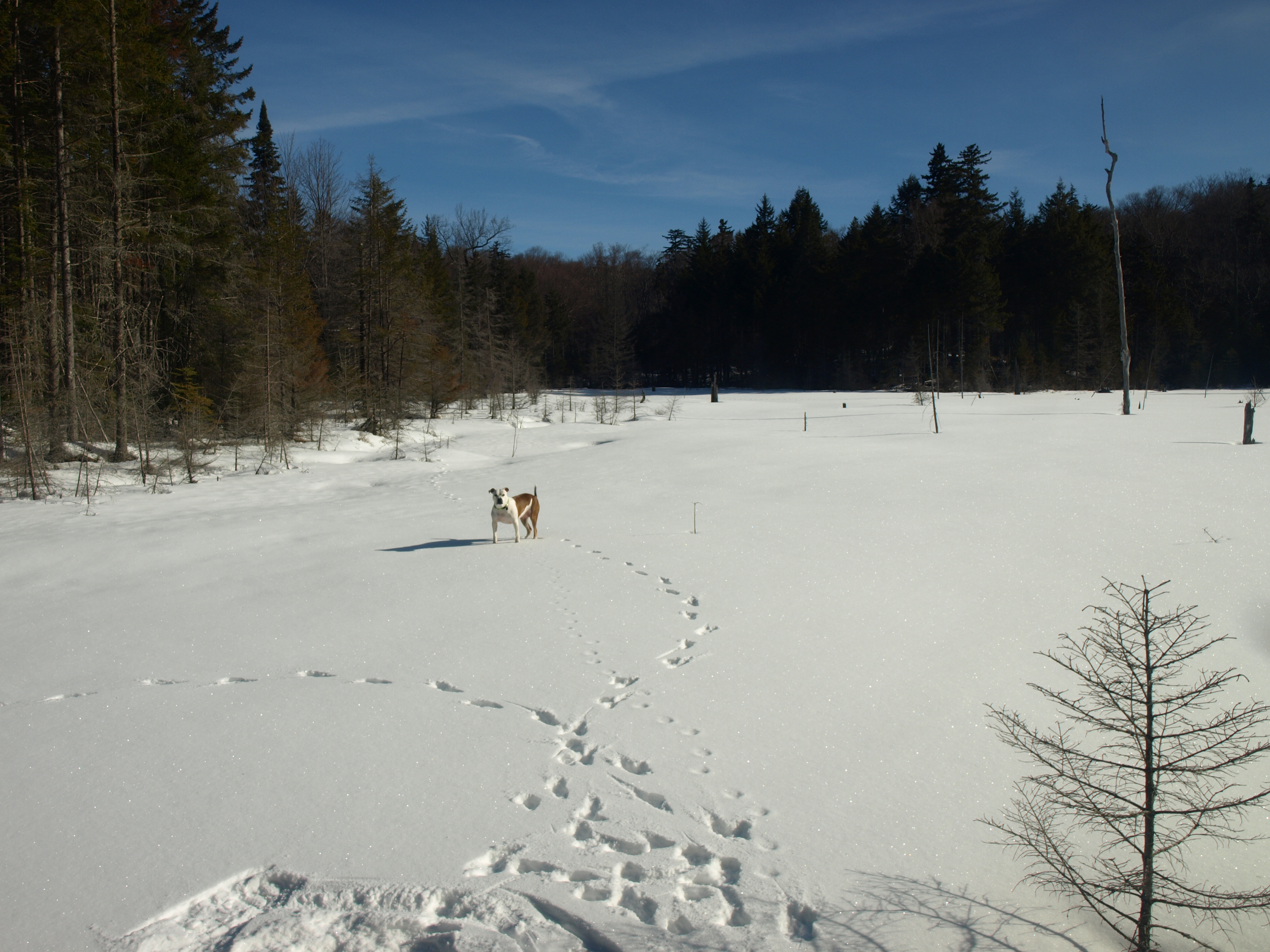
The trail was in great condition and as I was snowshoeing I thought it would make a great ski trail if only a few pieces of blowdown were cleared. Soon we were at the low marshlands of the brook and passing by them swiftly to the Shore of Estelle Pond. Estelle Pond was an ice covered field and I was unsure just how much water was beneath, but it was a very scenic area.
Since it continued, we remained on the trail, more out of curiosity than anything. Jim and I discussed the possibility that it's the trail we came across once when coming down off Buck Mountain near Sagamore Lake, it just had to be the one. We followed it to the height-of-land before we decided it was surely an old Vanderbilt carriage road from the Great Camp Sagamore. After some later research we found out that this was, indeed, the case. The carriage road was built to possibly bring supplies and guests to the camp over a much more remote and secluded, long route. This would give the guests a more solitary and wild trip rather than Sagamore Road.

Exploring Estelle Pond and Mountain
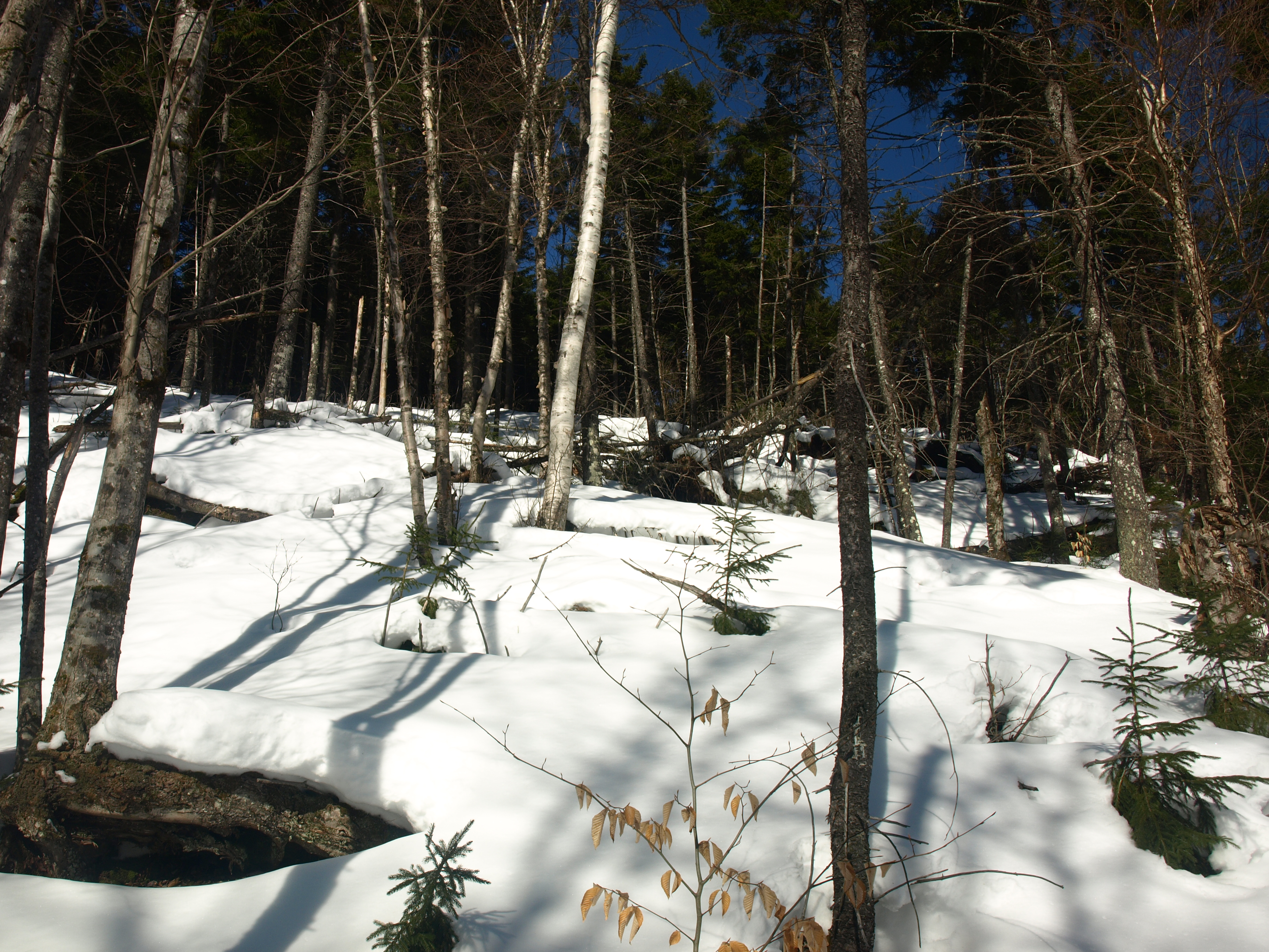
From the height-of-land we started our bushwhack up Estelle Mountain. The forest was open, as open as we had ever seen. The hardwoods towered above us and the hundred-plus-year-old yellow birch trees stood sentinel; only an occasional towering red spruce would challenge their size. The slopes were mellow with only a scattering of smaller ledges and hardly any deadfall to speak of. We topped out above a shelf where views seemed to be promising, but none were delivered to us, we would have to continue our search.
The final push to the summit brought us unconsolidated snow, much deeper than any other area, and at just over 2500 feet in elevation we were quite surprised by the difference. Standing upon the lightly wooded summit of balsam and red spruce we commented about the outstanding views the mountain could have of Raquette Lake - if only the slopes were a bit steeper and there were a few less trees around us. We descended.

We made a course a bit further north to intersect the old carriage road, I wanted to see where it would come out on the other end - near the falls maybe? Once we were in the sun again we decided a lunch break would be a good idea, so I broke out the chicken soup I made the night before and we warmed our slightly chilled bones from the inside out. We were ready for the finale.
We intersected the carriage road at the marshland below the pond and wasted no time descending the road. Now, what do you know? It came out on the
Death Falls
At the gated forest road/trailhead it was obvious that Death Falls had been a popular hike over the last few weeks. It was packed solid as concrete under our snowshoes, if the falls were our only destination snowshoes would have been left in the car. Quickly we passed by the wetlands of the brook, and with a light layer of ice on the stems of the alders, the sun sparkled in our eyes. I noted the trail coming in on the right to Jim. This trail was part way to the waterfall and I've always wondered where it went, I assumed it hooked up over to Great Camp Sagamore.
The base of the waterfall wasn't too dramatic as of yet, but once it warmed up enough for the ice to break free, it would surely be a treat to experience. The waterfall sets in what looks like an old quarry, with solid granite creating steep walls on three sides. Scoping out the terrain we made our way up the steep slopes on the right hand side that led to the top of the waterfall. This ended up being a unique look I had not experienced before.
The snow off-trail was solid, holding my weight with no problem whatsoever, only on occasion would I sink more than a couple inches into the unconsolidated crystalized snow below. We made our way up the brook, but only for a short bit before we decided to stick to the high ground. I proposed to Jim that we either check out the pond before or after we summit Estelle Mountain; we decided it would be after. As we made a course toward Estelle within only a couple minutes we came upon a very obvious trail through the forest heading in the direction of the brook, right toward Estelle Pond, so we changed plans to follow it. Just so you know, Estelle Pond is more of a beaver pond located at just over 2000 feet in elevation to the northeast of Estelle Mountain – a name I decided it aptly deserved.
Great Camp Sagamore
The trail was in great condition and as I was snowshoeing I thought it would make a great ski trail if only a few pieces of blowdown were cleared. Soon we were at the low marshlands of the brook and passing by them swiftly to the Shore of Estelle Pond. Estelle Pond was an ice covered field and I was unsure just how much water was beneath, but it was a very scenic area.
Since it continued, we remained on the trail, more out of curiosity than anything. Jim and I discussed the possibility that it's the trail we came across once when coming down off Buck Mountain near Sagamore Lake, it just had to be the one. We followed it to the height-of-land before we decided it was surely an old Vanderbilt carriage road from the Great Camp Sagamore. After some later research we found out that this was, indeed, the case. The carriage road was built to possibly bring supplies and guests to the camp over a much more remote and secluded, long route. This would give the guests a more solitary and wild trip rather than Sagamore Road.

Exploring Estelle Pond and Mountain
From the height-of-land we started our bushwhack up Estelle Mountain. The forest was open, as open as we had ever seen. The hardwoods towered above us and the hundred-plus-year-old yellow birch trees stood sentinel; only an occasional towering red spruce would challenge their size. The slopes were mellow with only a scattering of smaller ledges and hardly any deadfall to speak of. We topped out above a shelf where views seemed to be promising, but none were delivered to us, we would have to continue our search.
The final push to the summit brought us unconsolidated snow, much deeper than any other area, and at just over 2500 feet in elevation we were quite surprised by the difference. Standing upon the lightly wooded summit of balsam and red spruce we commented about the outstanding views the mountain could have of Raquette Lake - if only the slopes were a bit steeper and there were a few less trees around us. We descended.

We made a course a bit further north to intersect the old carriage road, I wanted to see where it would come out on the other end - near the falls maybe? Once we were in the sun again we decided a lunch break would be a good idea, so I broke out the chicken soup I made the night before and we warmed our slightly chilled bones from the inside out. We were ready for the finale.
We intersected the carriage road at the marshland below the pond and wasted no time descending the road. Now, what do you know? It came out on the Death Falls Trail - right at that intersection I always wondered about – now I know.
http://www.experienceouradirondacks.com/hiking/death-falls-a-k-a">Death Falls Trail - right at that intersection I always wondered about – now I know.


