Humphrey Mountain, a little of this and a little of that = a great day in the woods
My buddy Jim Hopson and I have been eyeballing this peak for quite some time. Every time we look at a map of the area this one kind of glows on the paper, and every time we find ourselves at King Flow in Indian Lake we find ourselves gazing upon it from the parking area. Well, the day finally came. Originally we had planned to climb some peaks in the southern part of Hamilton County near Northville, but with nasty driving weather in the forecast and my drive being so long, Jim suggested Humphrey – I jumped on the idea of not having to get up at 3:00am to get an early start in Northville, so YES!!!
We met up in the Village of Indian Lake at the old Grand Union parking lot and saved a bit of gas driving together down to King Flow Parking, which is better known for the trailhead for Chimney Mountain. Oh I forgot to mention it was -15 degrees when I started my drive and -8 degrees when we started the hike. With our noses and toes feeling the bite we got rolling as fast as possible to work up some body warmth. Jim with his 7 layers and 4 pairs of socks was doing OK, but I stuck with the traditional four layers and one pair of socks and had to work to keep my big toe warm.
The King Flow East Trail
Using the King Flow East Trail we quickly came to a ravaged trail. An ATV had used this Siamese Pond Wilderness Trail and had it deeply rutted. The ruts of course were not wide enough to walk in with snowshoes, so as you can imagine it was rather difficult and annoying. This was one of the only times I have ever had a negative run-in with ATV use, but it was a bad taste none-the-less. The trail cleared up after about 1.5 miles, where ruts were replaced with the welcome indents of a snowshoer. We didn't think the trail from this point would be touched at all, and to have a well-packed one under us was fantastic.
Old Humphrey Mountain Trail
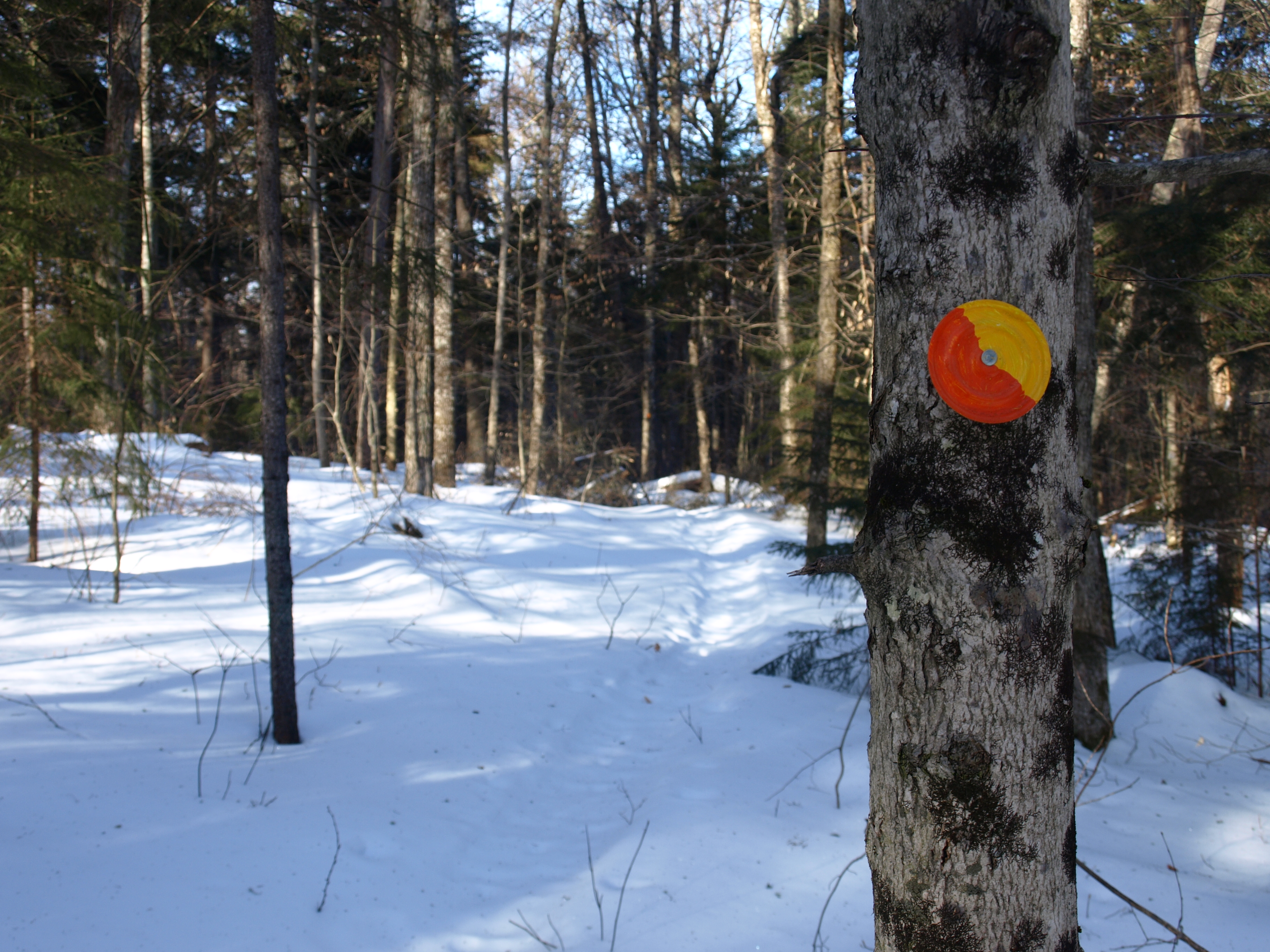
Moving along now at a decent clip we knocked off the next 1.5 miles in no time flat. We were now at a major intersection. Left was the continuation of the King Flow East Trail and right was what we thought might be the old Humphrey Mountain Trail, although it was not marked as such. Looking at the GPS and map, it looked to be right, and the snowshoe tracks were following it. With bright new Orange and Yellow trail markers (not DEC) it was easy to follow. We were pretty sure this obscure old trail would not be maintained or even discernible, but it was both; again not by the DEC, but some independent party. We proceeded down the trail for only about 0.3 miles before the trail made an odd turn away from the mountain, so we ended up second guessing ourselves. We whipped out the map to compare with the GPS (which doesn't have the old trail in the system) and sure enough, we were still unsure. We decided to stay on the trail for a while longer to see if it made any necessary hard dog leg lefts, it did. We felt much more comfortable now and soon found ourselves at the crossing of Humphrey Brook. The trail climbed slightly out of the brook and started an odd course which again didn't make sense in our mind. We had to confide in the map and GPS again. We almost, almost, started bushwhacking toward the peak, but my better judgment told me to hold off and just see if the trail makes another hard left, thankfully it did.
The trail soon started to climb, and soon it got steep. Snowshoeing on a side hill for quite some time, we eventually made a turn right up the flanks of the mountain between the east peak and middle peak – whooped is about how we felt by the time we reached the end of the trail in the col. Except we had two more summits to go up to reach the top. Lucky for us, whoever it was that broke out the trail earlier that week continued on up the ridge. The course this unknown bushwhacker used was actually quite good. They worked around most of all the obstacles and missed all the thicker stands of red spruce. They stopped at an obscure view at the smaller, center summit of the mountain. That was OK though, they helped us progress much faster through the wilderness, and bushwhacking without having to think is a great opportunity to take advantage of. It was only 0.25 miles to the true summit of Humphrey Mountain, we could see it in the near distance, but there would be a very steep descent of over 100 feet into the high col. This is where we butt-slid as much as we could, not a great idea on my part. I sat, prepared for whatever happened, and somehow ended up bouncing over a buried stump and a small ledge which were camouflaged by the snow. I then made close friends with an 8 inch red spruce which swung me around backwards into its little sapling off springs. That was the end of butt-sliding for today; apparently it wasn't meant to be with such shallow snow coverage.
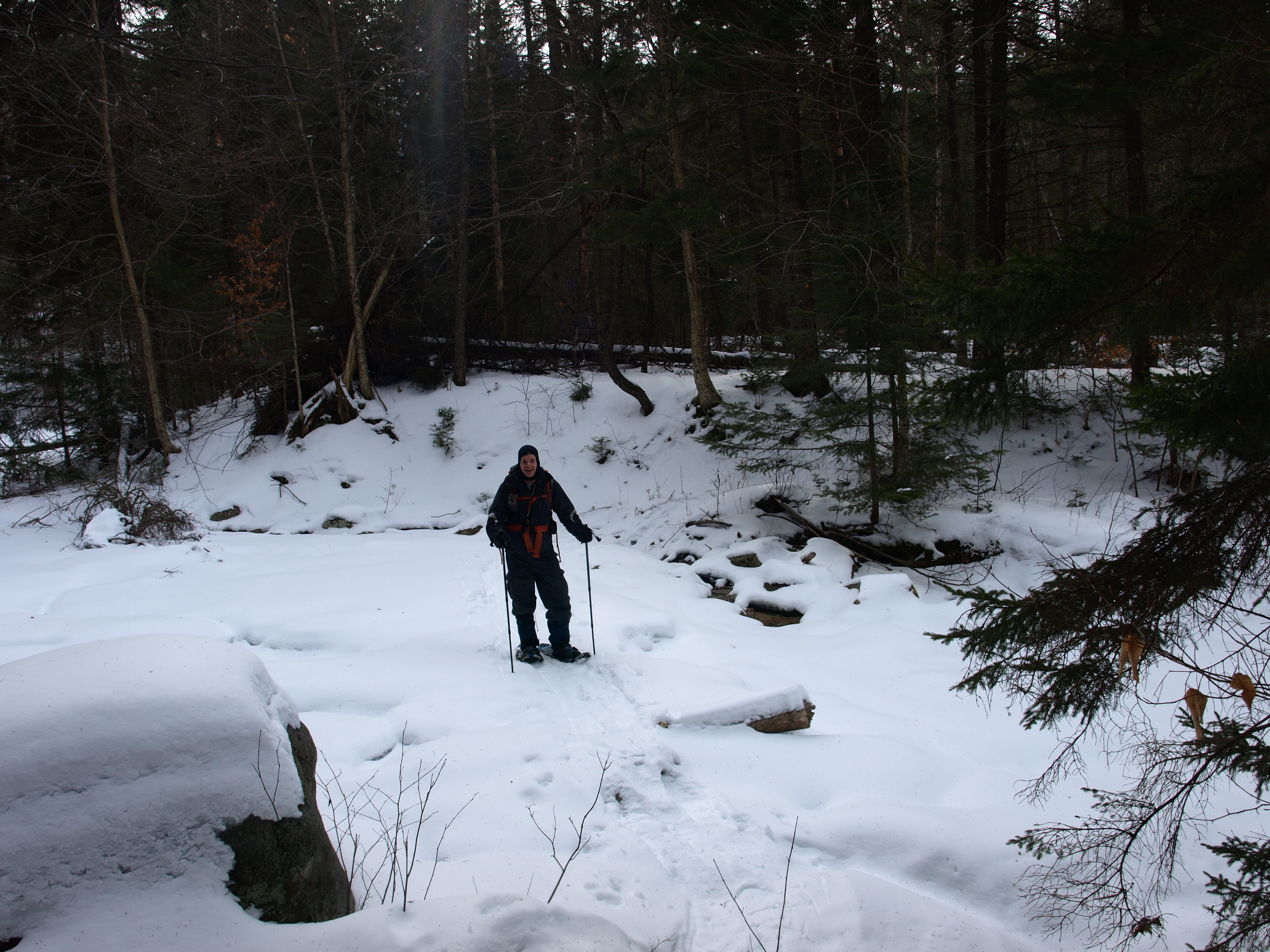
The summit of Humphrey Mountain
In the col we made as best a heading as we could at the very steep slopes. I pushed on, meandering through any seam in the spruce I could find, and in a relatively short amount of time we were back in the open hardwoods and snowshoeing toward the partially-open summit. We managed to point out Gore and Crane out in the distance and up close were many of the Hamilton County 3000 footers, like Big Range and County Line Mountain, the small village of Lake Pleasant was also off in the distance.
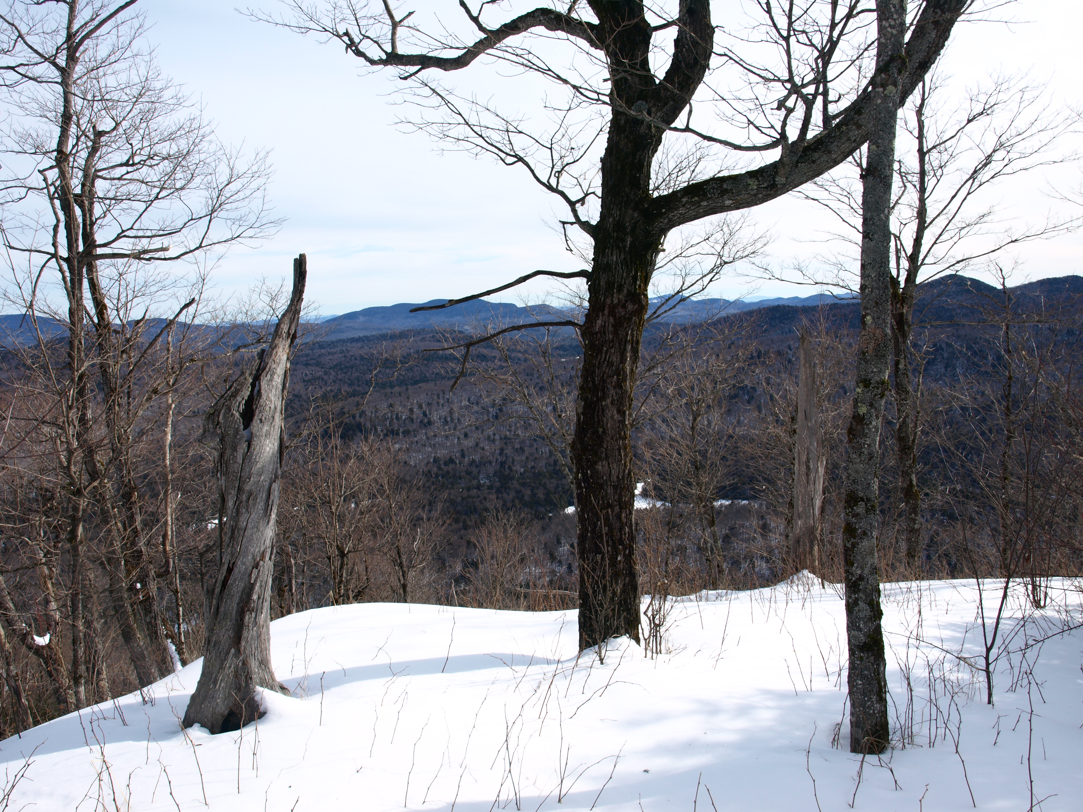
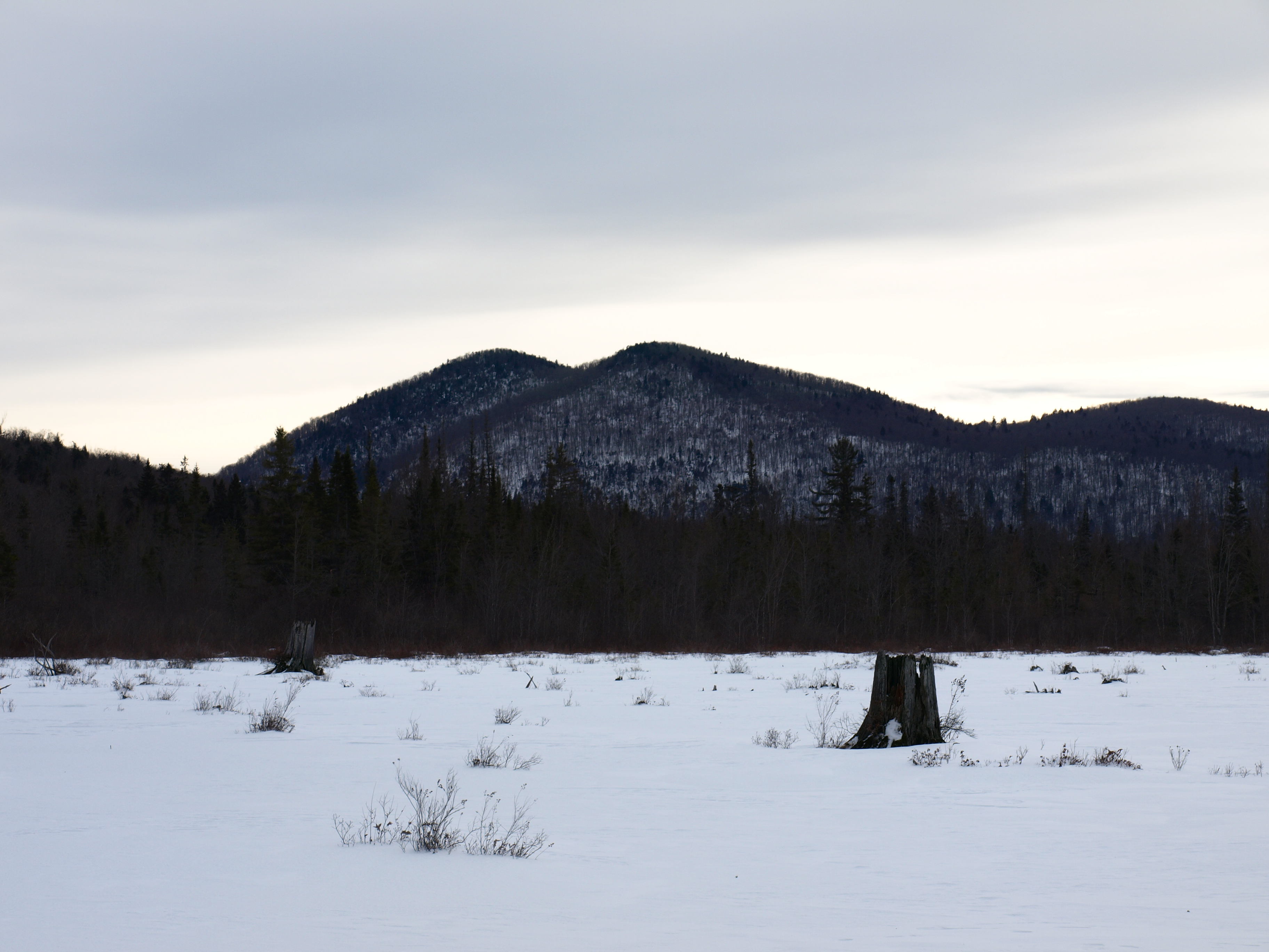
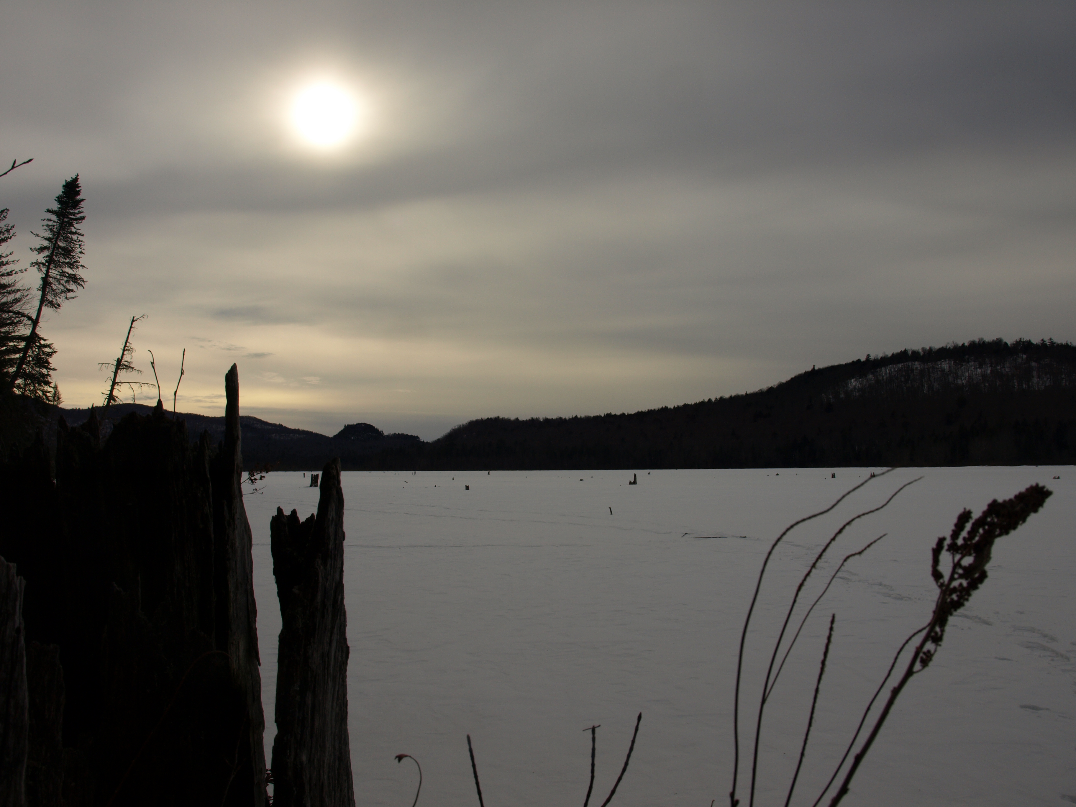
We had thought of heading over to Horseshoe Mountain which was about 1.5 miles away, but the drop was pretty deep into the valley and we feared that we didn't have enough time to accomplish this task and get out to the parking lot, or even on a trail before dark, so we saved it for another day. We returned via our route up, and on the way out decided to avoid the ATV ruts by detouring to King Flow and hiking down the frozen lake back to the car. We hit King Flow at the marshy area on the southeast side and were welcomed with the best views of the day, including the interesting formation of the three summits of Humphrey Mountain. The wind at times tore right through our layers, but for most instances we just kept snapping pictures and ignored the condition. There was about 3 inches of powder under a thin layer of windswept crust before we hit ice, perfect, easy walking back to the car.
You know, our guide services here in Hamilton County would be happy to introduce you to some of the exclusive beauty of the Adirondacks, you should see what they have to offer. Also, be sure to check out Indian Lake as a place to crash and get a bite to eat next time you are in town, you won't be disappointed.


