Plentiful Hiking
New York State is not lacking in hiking opportunities, especially when it comes to the Adirondack Park. Not all hiking in the Adirondacks is perfect for the entire family, especially if younger kids take part in the adventure. Below I would like to briefly introduce you to five short to moderate hikes that everyone can enjoy.
Coney Mountain – 1.8 miles Round Trip
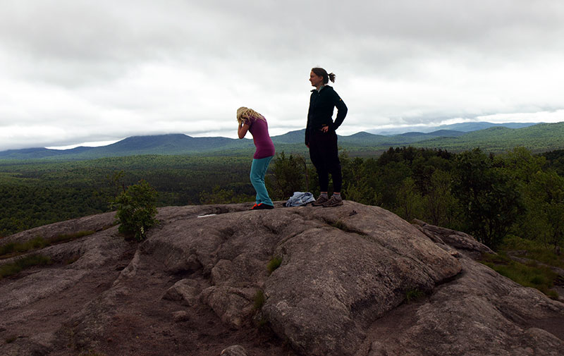
This mountain trail up Coney Mountain is only about a year old, it was redeveloped to replace an old path that lead to its bald round dome. The trail for the majority is very rocky and still quite new, so footing is a bit rough in areas. Following the well-developed trail you will sweep your way around the steep western slopes of the mountain. As the trail steepens a bit, it continues to contour its way around to the northern slopes of Coney Mountain and then meets up with the original trail just below the summit. The final approach is over slab rock, no scrambling is necessary. The views start to open up with Goodman Mountain to the north and Mount Morris to the northeast. The waters of Tupper Lake can be seen to the north as well and the wooded hills of the Horseshoe Lake Wild Forest to the west. As far as views go, this is one of the best in the area, with the best bang for the buck.

How to Get to Coney Mountain
From the intersection of Route 30 and 28N in Long Lake follow Route 30 toward Tupper Lake. Continue for just over 12-miles to the parking area on the right. This is a brand new parking area built by the NYSDEC over the last year.
Death Falls – 0.75 miles Round Trip
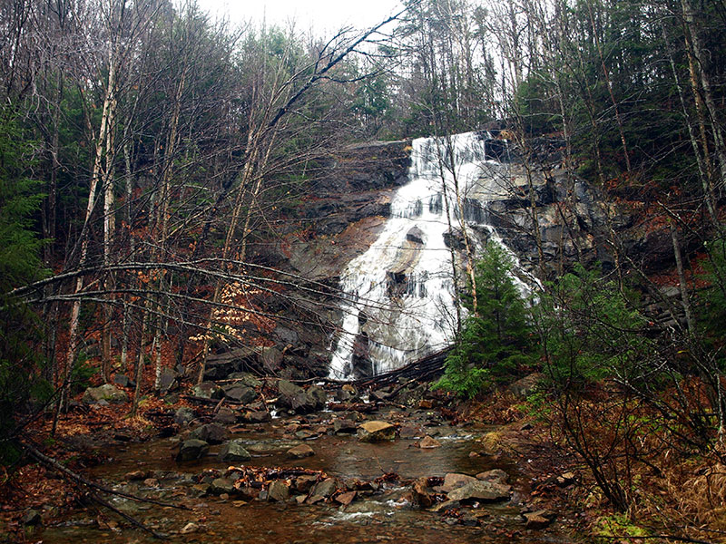
Passing by the gate you will be on an old access road that brings you through a grass field with an attractive wetland to your left. As you continue by the wetland there are a few small areas that you can approach the shore, but don't get too close the edges are a bit unstable in parts. This opens up great opportunities for birding and wildlife photography. As you continue through you will notice a split in the trail. Right will lead you around to above the falls – the area above the falls is not recommended for young children. The left fork will lead to the base of the falls. At this point you should be able to hear the water pouring to the rocks below. You will have a small stream crossing to where you will be able to see the falls to the right.

How to Get to Death Falls
From the intersection of Routes 28 and 30 in the Town of Blue Mountain Lake, follow Route 30 toward Raquette Lake. Continue on Route 28 for just under 10-miles to a gated dirt road on the left. This gated dirt road is not marked as a trailhead and is located near the entrance to Golden Beach State Campground.
Sawyer Mountain – 2.2 miles Round Trip
The trail starts out climbing right from the parking, but is never too steep; that is in comparison to some of the others in the area. The forest as you will notice is a gorgeous hardwood stand, very open and welcoming to the visitor. In the spring and summer the wildflowers are abundant and the songbirds a plenty. In the fall the colors are almost bright enough for sunglasses. In winter the snow so crisp you can almost hear it sparkle.
The trail swings around and works its way up along the northern ridge and reaches the wooded summit of Sawyer Mountain at 1.1 miles. The trail does carry on a bit further and drops slightly to a nice view out over the golf course with Sprague Pond and the foothills of the Little High Peaks a bit further in the distance.
How to Get to Sawyer Mountain
From the intersection of Routes 30 and 28 In Blue Mountain Lake follow Route 28/30 toward Indian Lake. Continue on Route 28/30 for around 7-miles to the trailhead on the right.
Castle Rock – 3.0 miles Round Trip
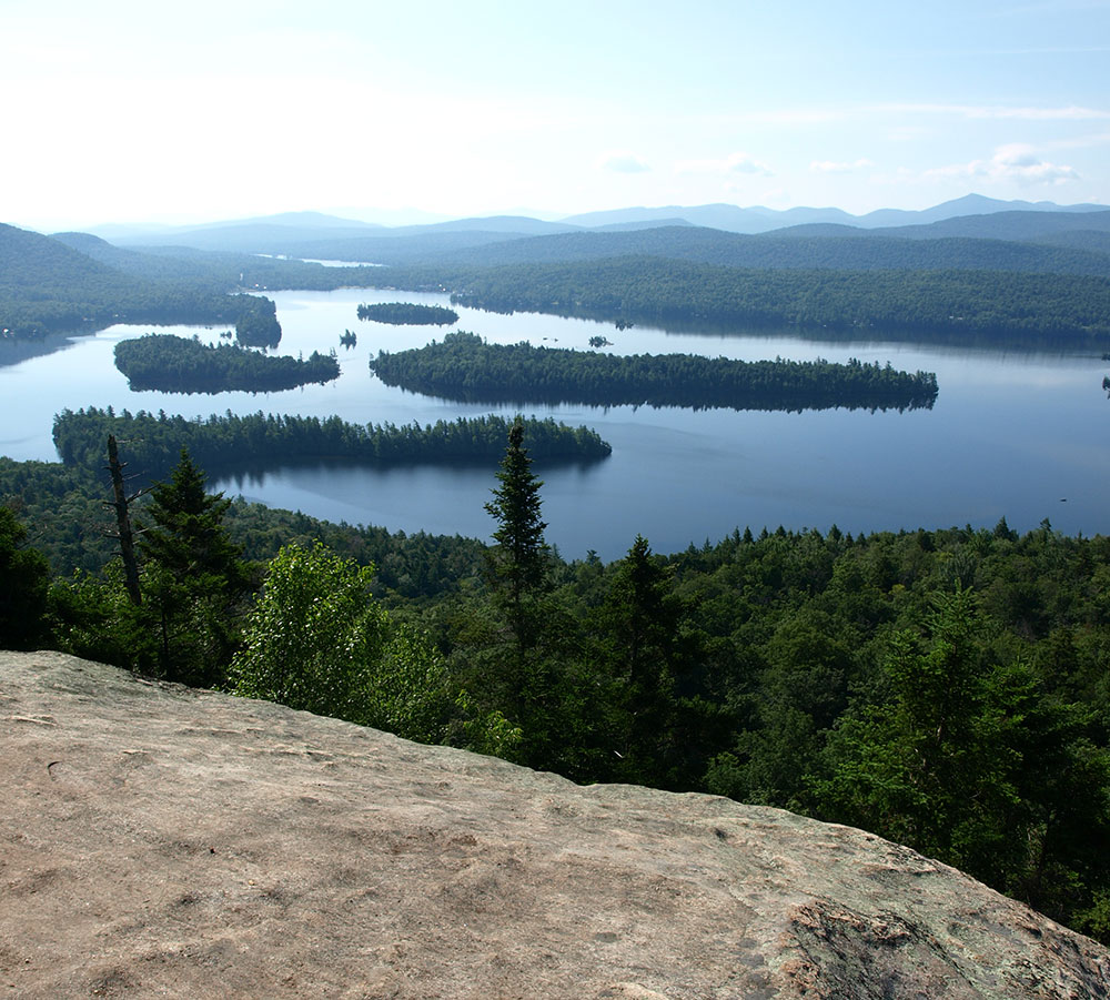
Initially you will be following a private dirt road, please stay on the marked route. The trail markers are on the power poles, but when in doubt keep right. After a short distance you will leave the road and start on a foot trail. Continuing on along a nice mellow trail you will come to an intersection with a spur trail to Blue Mountain Lake. This is a short 0.3 mile descent to the shore of the big lake, if the need strikes you. At the trail intersection you will start a steep continuous climb up the shoulder of Castle Rock. The ascent to the Castle Rock trail is very steep. Above the steep section it moderates to a nice grade. As you crest the steeper section you will be able to see the cliffs of Castle Rock in front of you. Follow the trail north until you come to another intersection with the yellow trail. Here you will need to go right. From here the climb gets much steeper with large steps over rocks and roots. In short time you will be on the open rock summit of Castle Rock overlooking Blue Mountain Lake.

How to Get to Castle Rock
From the intersection of Routes 30 and 28 In Blue Mountain Lake follow Route 30 toward Long Lake. Continue on Route 30 for around 0.6 miles to Maple Lodge Road on the left. Follow Maple Lodge Road to its end at the hiker parking and trailhead for Castle Rock.
Rocky Mountain – 1.1 miles Round Trip
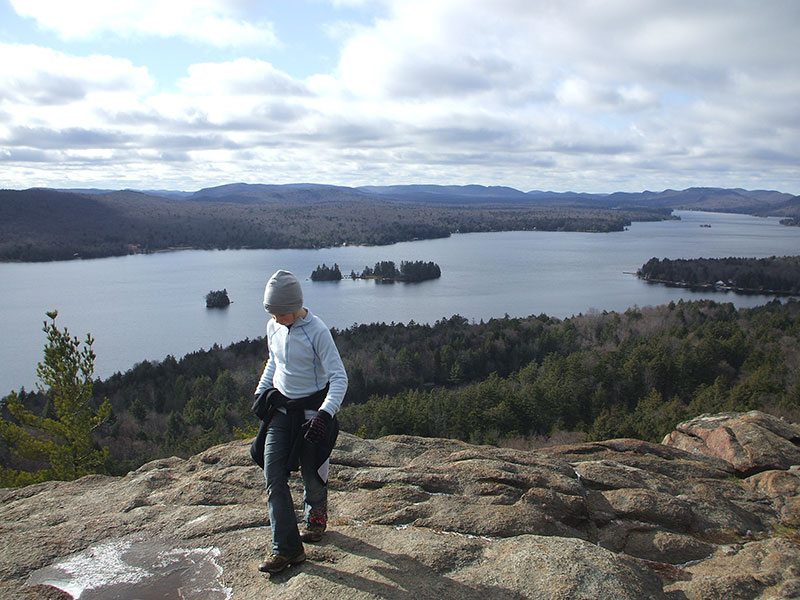
From the parking area the Bald Mountain Trail is located to the back, well-marked. You will start immediately to climb up the side of the mountain with gorgeous rocky outcroppings and an occasion steep section. This trail short distance makes it a hike for just about any part of your family. Once on the rocky top you will be overwhelmed by the outstanding views out over the Fulton Chain of Lakes, more in particular, Fourth Lake.

How to Get to Rocky Mountain
From the intersection of Route 28 and Limekiln Road in Inlet follow Route 28 toward Old Forge. Continue on Route 28 for just under 2-miles to the Trailhead for Bald Mountain and Black Bear Mountain on the right.


