Chimney Mountain
*Until further notice, parking and access to Chimney Mountain has been closed. Keep up to date on access on the NYSDEC website.
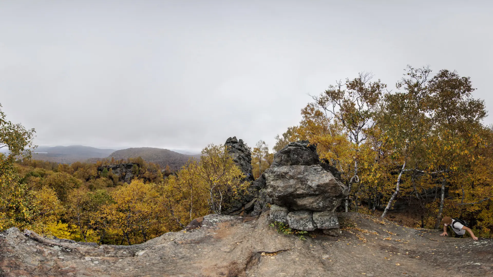
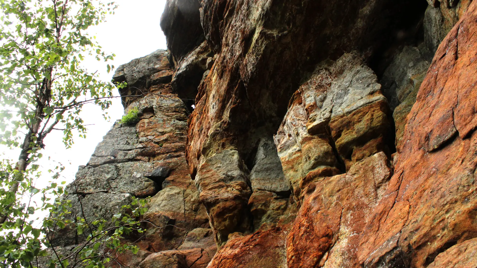
This is a great hike to a very interesting and unusual geological chimney formation surrounded with a maze of caves and crevices near the summit of Chimney Mountain. Expert spelunkers and amateur geologists will find this area a delight to explore. Chimney Mountain has unique features due to a large proportion of soft, sedimentary "Grenville layers" that have made passageways, cliffs, boulders, and caves. View the large geologic depression that was formed when the Western Rift separated from the Eastern Rift.
Key takeaways
- Distance: 2.5 miles round trip
- Elevation: 2,721 feet
- Elevation gain: 980 feet
- Hike includes trail junctions
Hiking Chimney Mountain
From the trailhead you will continue up the dirt road on foot for a short distance to the trailhead at the back. The trail will start to climb immediately but under very mellow conditions before starting a much more serious climb up the steeper slopes of the peak. Don't take the initial right onto the Puffer Pond trail.
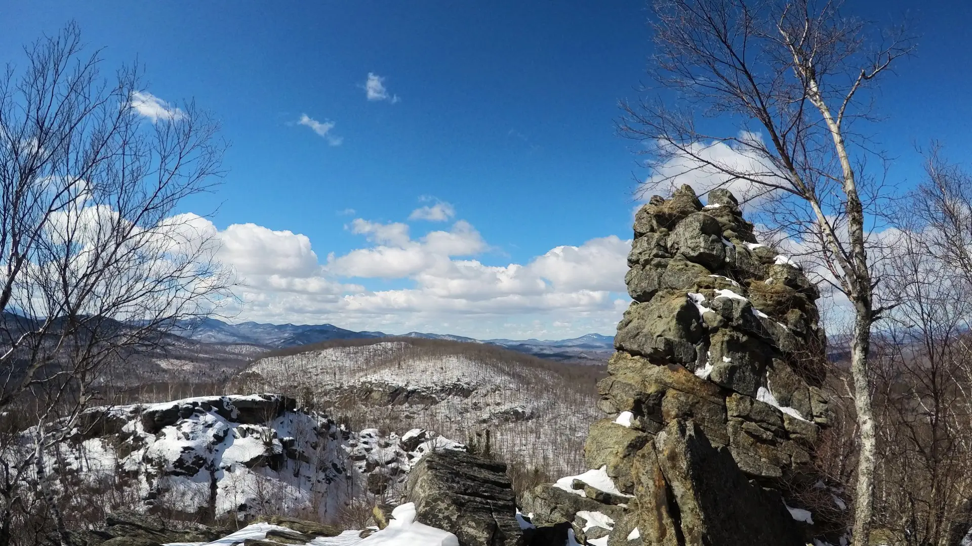
You will come to the chimney before the summit. Many often mistake the rock chimney location as the summit. The true summit of the mountain is a short hike via a herd path, to the right before the trail to the chimney. From the rocky summit, you get a beautiful 360 degree view of the surrounding area. Great views are located at both the chimney location and the summit.
Chimney Mountain in the winter
The trail up is considered a good destination for a beginner mountain snowshoe, but can be a bit steep in sections, so packing microspikes is also a good idea. This trail does get use in the winter, but plan for unbroken snow, and be prepared for all winter conditions.
Experience more trails in Hamilton County
Does Chimney Mountain sound amazing, but a little more than you want to tackle right now? With hundreds of miles of trails, we can help you find the right hike in the big outdoors.
How to get there
From the intersection of Routes 28 and 30 in Indian Lake follow Route 30 toward Lake Pleasant. Continue for just under 0.5 miles to Big Brook Road. Follow here for 7.8 miles to King's Flow Parking Area. This is the trailhead for Chimney Mountain, Johns Pond and Puffer Pond. This is pay-to-use parking. Pay the $10 fee at the small kiosk.
Please respect the rights of property owners and stay on the trail — there is no public access to Kings Flow at this time.
Chimney Mountain
This is a great hike to a very interesting and unusual geological chimney formation surrounded with a maze of caves and crevices near the summit. Expert spelunkers and amateur geologists will find this area a delight to explore.